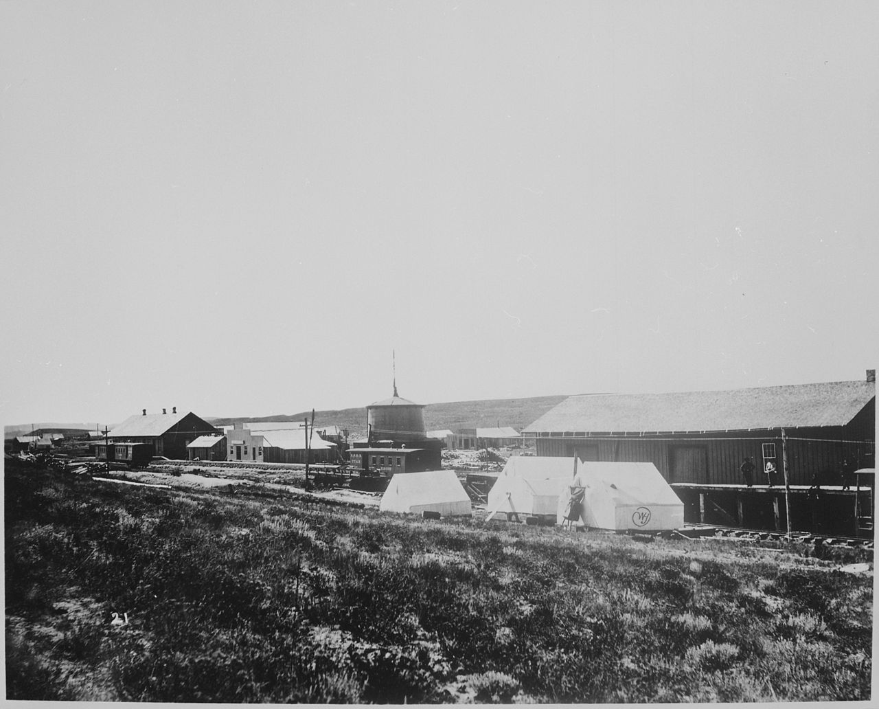
Wahsatch sits on I-80 at the upper, northeast end of Echo Canyon in Summit County, eastern Utah, near Exit 191. It is about 23 miles east of Echo and roughly 11 miles west of Evanston, Wyoming. This is the eastbound climb out of Echo Canyon toward the Utah-Wyoming divide, the last sustained grade before you cross the state line. For a driver running east, it marks the end of the Wasatch Front country and the start of the Wyoming high desert.
A note up front, because it matters. Some listings put a "Wahsatch Summit" at 7,219 ft. We could not confirm that number from any state DOT, USGS, or weather-service source, so treat it as unverified. What is documented: the Wahsatch site itself sits near 6,820 ft (Wikipedia, citing USGS-derived data), and the highest road elevation in this corridor runs about 6,860 ft on the Wyoming-line-to-Echo segment (AARoads). The true high point of I-80 in Utah is Parleys Summit, around 7,016 ft (Wikipedia), a separate pass more than 70 miles west near Park City. Do not confuse the two.
Plan fuel and rest before you start the climb. The Echo Canyon Rest Area near Exit 170 sits around 5,700 ft (AARoads), which gives you a sense of how much you gain heading up. After Wahsatch, the next driver services are about 31 miles ahead at Evanston, Wyoming (AARoads). In winter this stretch closes for crashes, blowing snow, and high wind, often at the same time WYDOT shuts the road east of Evanston.
- Location: I-80 at the upper end of Echo Canyon, Summit County, Utah, near Exit 191, about 11 miles west of the Wyoming line (AARoads)
- Wahsatch site elevation is about 6,820 ft (Wikipedia); the road through the corridor tops out near 6,860 ft (AARoads)
- The 7,219 ft "Wahsatch Summit" figure is unverified and not confirmed by any DOT, USGS, or NWS source
- Next services east are about 31 miles ahead at Evanston, Wyoming (AARoads)
- Echo Canyon Rest Area near Exit 170 sits around 5,700 ft, near the base of the climb (AARoads)
- The documented high point of I-80 in Utah is Parleys Summit at about 7,016 ft, a different pass near Park City (Wikipedia)
- Utah's traction-law season runs October 1 through April 30 (UDOT/Utah traction law)