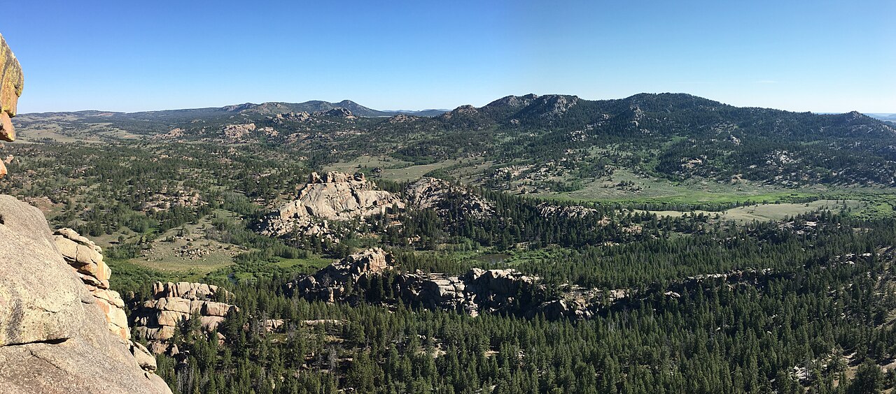
Sherman Summit sits on the crest of the Laramie Mountains in Albany County, Wyoming, on I-80 between Cheyenne and Laramie. It is about 9 miles east of Laramie and 36 miles west of Cheyenne, near Exit 323. At 8,640 ft, this is the highest point on Interstate 80 across the whole transcontinental route. A WYDOT sign at the rest area says so flat out: "Highest Point on Interstate 80. Elev 8640." Buford, just west of the summit at about 8,000 ft, is the highest community on I-80.
One thing to get straight. It is not the highest point on the entire Interstate Highway System. That belongs to the Eisenhower-Johnson Memorial Tunnel on I-70 in Colorado at 11,158 ft. Sherman Summit comes in second. What makes this corridor hard is not the altitude alone. WYDOT describes the Summit/Telephone Canyon stretch as average grades of about 6% with long winding curves, and variable speed-limit signs are posted throughout and have to be followed.
The wind is the real story here. This corridor is known for gusts that can blow loaded trucks and trailers onto their sides or off the road. Snow falls even into early summer because of the 8,000-plus-ft elevation. The 77-mile run over and west of the summit, from Laramie to Walcott Junction, earned the nickname "Snow Chi Minh Trail" for its ground blizzards. At the Summit Rest Area you will pass a 12.5-ft bronze bust of Abraham Lincoln on a 30-ft granite pedestal, a landmark for drivers cresting the hill.
- Highest point on all of I-80 at 8,640 ft, but second-highest on the Interstate system behind the Eisenhower-Johnson Tunnel at 11,158 ft (Wikipedia; CDOT).
- Near Exit 323, about 9 miles east of Laramie and 36 miles west of Cheyenne (Wikipedia; Anne's Travels).
- WYDOT cites average grades of about 6% with long winding curves through the Summit/Telephone Canyon section; variable speed-limit signs are mandatory (WHP Mountain Road Information).
- Buford, just west of the summit at about 8,000 ft, is the highest community on I-80 (AARoads).
- The 77-mile Laramie-to-Walcott-Junction segment is nicknamed the 'Snow Chi Minh Trail' for its ground blizzards (Wikipedia).
- Gusts here frequently exceed 60 mph and have reached 100 mph, strong enough to flip trucks (WHP; FHWA cs101).
- A 12.5-ft bronze Lincoln bust on a 30-ft granite pedestal stands at the Summit Rest Area (Wikipedia; Cowboy State Daily).