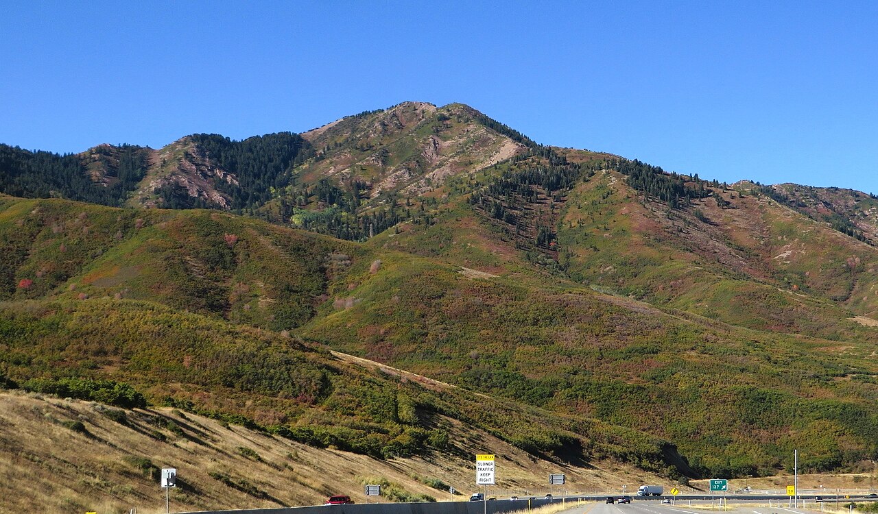
Parley's Summit is the high point of Parleys Canyon, the corridor I-80 uses to climb out of the Salt Lake Valley. Eastbound you grind up out of the city toward the Snyderville Basin and Park City, then on toward Wyoming. Westbound it flips: a long, steady descent straight into a major metro. AARoads puts the I-80 roadway summit at 7,016 feet, at Exit 140. That is the number a trucker actually drives over. (Wikipedia's article body lists the geographic pass higher, at 7,120 feet, and calls it the highest point on I-80 in Utah. A nearby NRCS snow-telemetry station reads 7,590 feet, but that gauge sits on higher ground off the roadbed, so do not treat it as the road elevation.)
What makes this grade matter is the drop. I-80 falls more than 2,400 feet between the summit and Salt Lake City, on a 3 to 6 percent grade, and trucks are held to 40 mph (AARoads). That is a sustained descent into stop-and-go city traffic, which is exactly the setup that overheats brakes. The canyon also has a runaway truck ramp on the westbound left side near milepost 135, roughly 3.5 miles below the top (AARoads), and it has been used.
Parley's stays open year-round. There is no scheduled seasonal closure here. When snow stacks up, UDOT enforces its Traction Law through the canyon, and in the worst conditions it can require chains or 4WD for every vehicle, not just semis. Full closures happen, but they are event-driven: crashes, slide-offs, severe weather, and on one occasion a wildfire that shut both directions. Plan around the descent and the winter traction rules, and check signs and the UDOT Traffic app before you commit to the grade.
- I-80 roadway summit is 7,016 feet at Exit 140; this is the trucker-relevant figure (AARoads)
- Wikipedia's article body lists the geographic pass at 7,120 feet and calls it the highest point on I-80 in Utah (Wikipedia)
- The grade runs 3 to 6 percent and trucks are limited to 40 mph (AARoads)
- Westbound I-80 drops more than 2,400 feet between the summit and Salt Lake City (AARoads)
- Runaway truck ramp sits on the westbound left side near milepost 135, about 3.5 miles below the summit (AARoads)
- Utah's Traction Law (rule R920-6) Class 1 applies to vehicles over 12,000 lb GVW, including semis (UDOT Wasatch Back)
- No scheduled seasonal closure; it is a year-round interstate, with closures driven by crashes, weather, or fire