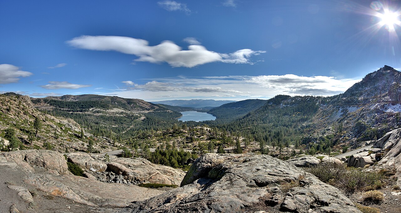
Interstate 80 crosses the Sierra Nevada at Donner Summit, about 7,239 feet up on the westbound side and a little lower eastbound. The highway tops out at Euer Saddle, roughly two miles north of the historic Donner Pass (7,056 ft) that gave the place its name. This is the main all-weather truck route across the northern Sierra. If it shuts down, the next interstate-grade crossing for a loaded rig is about 400 miles south near Tehachapi, so a Donner closure backs freight up across two states.
The numbers say why it matters. Caltrans counts about 30,000 cars and 6,200 commercial vehicles over the summit on an average day, and rates I-80 here a primary freight route carrying more than $4.7 million in goods per hour. The grade is not the steepest in the West, but it is long: a sustained 3 to 6 percent for roughly 30 miles of climb and descent. Westbound, dropping toward Sacramento, is the side that kills brakes. There is a brake-check area between Nyack and Blue Canyon and runaway-truck ramps below it. Pick a low gear before you start down and let the engine hold you back.
Snow is the other half of the story. The Central Sierra Snow Lab at Soda Springs, right by the summit, averages around 360 inches a season, and the wider Donner Pass area runs higher. A single storm can drop several feet and bury the lanes faster than the plows clear them. Caltrans posts chain controls from about November through April, and rigs over 6,500 pounds have to carry chains in the Sierra all winter whether or not controls are up.
- Summit about 7,239 ft on I-80, at Euer Saddle just north of the original 7,056 ft Donner Pass
- About 30,000 cars and 6,200 trucks cross on an average day; a primary freight route (Caltrans District 3)
- Sustained 3 to 6 percent grade for roughly 30 miles; brake-check between Nyack and Blue Canyon, runaway ramps below
- Around 360 inches of snow in an average season at the Central Sierra Snow Lab (UC Berkeley)
- Chain controls roughly November to April; rigs over 6,500 lb must carry chains in the Sierra all winter (Caltrans)