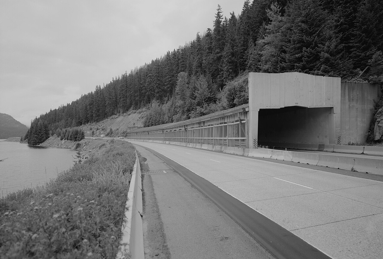
Interstate 90 crosses the Cascades at Snoqualmie Pass, about 50 miles east of Seattle, topping out at 3,022 feet just north of Exit 53. Of Washington's three year-round crossings of the Cascades, Snoqualmie is the lowest and by far the busiest, and it is the only interstate over the range. Almost everything moving between Puget Sound and eastern Washington runs through here.
Freight drives the traffic. WSDOT counts roughly 35 million tons of cargo worth about $500 billion over the pass each year, and trucks haul close to 59 percent of that tonnage. Average daily traffic runs around 29,000 to 34,000 vehicles. The climb is long and steady rather than steep, and WSDOT has added truck-climbing lanes, including one westbound near the Kachess River, to keep slow rigs out of the faster traffic. One thing to plan for: west of the summit the descent runs partly on bridge structure with no runaway-truck ramp on that stretch, so manage your brakes and gearing on the way down.
The pass stays open year-round, but winter is a fight. About half a dozen avalanche chutes cross the corridor, most of them on the west side, and WSDOT closes the road to run avalanche control. Add heavy snow, spinouts, and the occasional jackknifed truck and you get the closures the pass is known for.
- Summit 3,022 ft on I-90, the lowest and busiest of Washington's three year-round Cascade crossings
- Roughly 35 million tons of freight worth about $500 billion crosses each year; trucks haul about 59 percent of it (WSDOT)
- Average 29,000 to 34,000 vehicles a day
- Trucks over 10,000 lb must carry chains Nov 1 to Apr 1 between North Bend (MP 32) and Ellensburg (MP 101), plus two spares (WSDOT)
- About half a dozen avalanche chutes cross the corridor; WSDOT closes the road for avalanche control