← All passes
Mountain pass No. 42 No live data

McLaughlin Hill

Start with the honest part. We could not confirm that "McLaughlin Hill" is a real, named feature on Interstate 94 in Montana. It does not appear on the Montana Department of Transportation chain-law list, in USGS records, on Wikipedia's I-94 Montana article, or in the AARoads gui

4,210Elevation (ft)
1,283Metres
I-94Route
MTState
A scenic view of distant mountains across the plains from Interstate 94 in Montana, the highway that crosses the McLaughlin Hill grade.
A scenic view of distant mountains across the plains from Interstate 94 in Montana, the highway that crosses the McLaughlin Hill grade.Shadowmeld Photography / Wikimedia Commons · CC BY-SA
00 Live conditions
No live data
No live condition feed for this pass right now. Check the state DOT or 511 before you climb.
01 Overview

Start with the honest part. We could not confirm that "McLaughlin Hill" is a real, named feature on Interstate 94 in Montana. It does not appear on the Montana Department of Transportation chain-law list, in USGS records, on Wikipedia's I-94 Montana article, or in the AARoads guide for the route. The often-quoted "summit about 4,210 feet" does not check out either. The only nearby 4,200-foot figure describes high ground in southern Rosebud County, which sits well south of the interstate, not on it. So if you came here looking for a named climb with a posted grade, there isn't one to report.

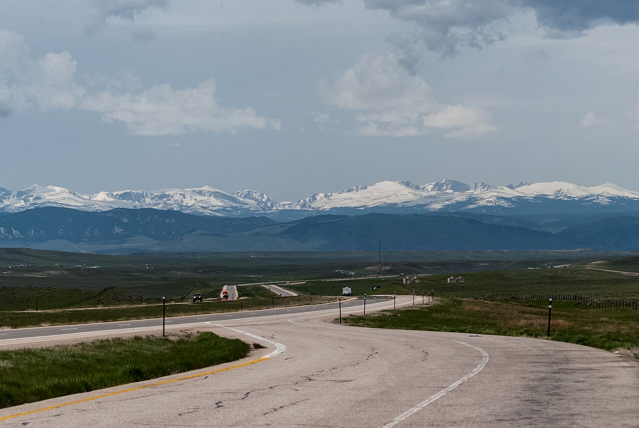
What is real, and worth a trucker's attention, is the I-94 corridor across eastern Montana itself. The interstate runs about 249.6 miles from Billings east to the North Dakota line past Wibaux, following the Yellowstone River valley and rolling open ranchland (Wikipedia, "Interstate 94 in Montana"). There is no mountain pass on this stretch. The terrain is river bottom and prairie, with a series of low hills near Billings, in Treasure County, and south of Howard Valley near Forsyth. No single one of those is named or graded in any source we read.

The danger here is weather, not grade. Open country means strong wind, and strong wind tips high-profile trailers. Add winter ice, blowing snow, and ground blizzards, and you get the kind of conditions that shut the road down without warning. None of that runs on a schedule, so the live road report does more for you than any elevation number. Check MDT 511 before you roll and plan around the storm, not around a hill that the maps don't name.

  • I-94 in Montana runs about 249.6 miles from Billings east to the North Dakota line past Wibaux (Wikipedia, "Interstate 94 in Montana")
  • No "McLaughlin Hill" appears in MDT, USGS, Wikipedia, or AARoads sources, and the road has no mountain pass; it follows the Yellowstone valley and open prairie
  • Montana's chain-control window runs October 1 through April 30 (MDT Tire and Chain Laws; MCA 61-9-436)
  • Towing units of 26,001 lbs GVW or more must carry approved chains or traction devices during that window; four-wheel-drive vehicles are exempt from the carry rule (MDT Tire and Chain Laws; MCA 61-9-436)
  • Chain-law fine is $225 for a first offense and $225 to $500 after (MCA 61-9-436 / 61-9-520)
  • MDT designates no chain-up or brake-check areas on I-94 in Montana; its named chain-up hills are on mountain routes like I-15, I-90, US-2, and US-12 (MDT Tire and Chain Laws)
  • High wind is the corridor's signature hazard: a wind-related semi crash blocked I-94 westbound near Miles City around milepost 151 on January 16, 2026 (KULR-8; Country Herald)
02 Chain controls & closures

Montana runs its chain control statewide rather than by named hill, and this corridor is no exception. The carry requirement is in force from October 1 through April 30 (MDT Tire and Chain Laws; MCA 61-9-436). During that window, towing units of 26,001 lbs GVW or greater must carry approved tire chains or traction devices, with AutoSock accepted as an approved alternative and four-wheel-drive vehicles exempt from carrying. When chains are ordered, every vehicle towing a trailer must apply them to the driver wheels of one axle. There is no fixed closing date and no named chain-up area on I-94. MDT lifts the order when conditions clear, and the requirement ends statewide after April 30. Because nothing on this stretch is posted by mile marker, the live MDT 511 report is what tells you when chains are actually required.

03 Notable hazards
Hazard

High wind and high-profile rollovers

Open eastern-Montana country gives wind a long run, and gusts here have put semis on their sides. A wind-related rollover blocked I-94 westbound near Miles City around milepost 151 on January 16, 2026, with the Montana Highway Patrol citing heavy gusts (KULR-8; Country Herald). A loaded box trailer is the most exposed thing on the road in that wind.

Hazard

Ice and blowing snow with low visibility

Winter storms ice the road and kick up ground blizzards that have shut the interstate down. Country Herald reported I-94 closed for icy conditions in the Miles City area, and KFYR-TV reported the April 2022 storm closure from the Montana border to Jamestown (Country Herald; KFYR-TV).

Hazard

Event-driven closures, not scheduled ones

I-94 across eastern Montana closes during storms and crashes, not on a calendar. There is no published "days closed per year" figure for this stretch. Closures are announced in real time through MDT 511, so check before you commit to the run (MDT Traveler Information).

Hazard

Exposed segments for tall trailers

Stretches like Billings to Pompeys Pillar run open and exposed, which makes high winds harder on high-profile vehicles. Montana road-condition reporting flags this kind of segment as difficult for tall trailers in strong wind (KULR-8 road condition reporting).

04 History

The honest answer on history is short. We found no naming, construction, or landmark record for a "McLaughlin Hill" on I-94, because the name itself could not be verified in any source. What we can date is the corridor. I-94 in Montana spans about 249.6 miles across seven counties, Yellowstone, Treasure, Rosebud, Custer, Prairie, Dawson, and Wibaux, from Billings to the North Dakota line (Wikipedia, "Interstate 94 in Montana").

The events that stick are weather events. In April 2022 a major spring storm closed I-94 from the Montana border east to Jamestown, North Dakota (KFYR-TV). On January 16, 2026, the Montana Highway Patrol cited heavy wind gusts in a semi crash that blocked I-94 westbound near Miles City (KULR-8; Country Herald). That pattern, not a graded climb, is the history that matters for anyone hauling this route.

05 FAQ
Is there really a McLaughlin Hill on I-94 in Montana?
We could not find one. It is not a named feature in MDT, USGS, Wikipedia, or AARoads sources. I-94 in Montana follows the Yellowstone River valley and open prairie, and it has no mountain pass (MDT; AARoads; Wikipedia).
What about the 4,210-foot summit some pages mention?
That number does not hold up as an I-94 summit. The only nearby 4,200-foot figure refers to high ground in southern Rosebud County, which lies well south of the interstate, not on it. Don't plan around an elevation we can't source.
Do I need chains on I-94 in Montana?
From October 1 through April 30, towing units of 26,001 lbs GVW or more must carry approved chains or traction devices. When chains are ordered, put them on the driver wheels of one axle. AutoSock is approved, and four-wheel-drive vehicles are exempt from carrying (MDT Tire and Chain Laws; MCA 61-9-436).
What's the biggest danger for trucks on eastern Montana I-94?
High wind, which can roll a high-profile trailer, plus ice and blowing snow in winter. A wind-related semi crash blocked the road near Miles City in January 2026 (KULR-8; Country Herald).
Does I-94 close in winter?
Not on a schedule. It closes during storms and crashes, like the April 2022 storm that shut it from the Montana border to Jamestown and the January 2026 wind crash near Miles City. Check MDT 511 before you roll (KFYR-TV; Country Herald; MDT).
Where do I check live I-94 road conditions and what's the fine if I'm caught without chains?
Use MDT Traveler Information (mdt.mt.gov/travinfo) and 511MT (511mt.net) for live conditions. The chain-law fine is $225 for a first offense and $225 to $500 after that (MCA 61-9-436 / 61-9-520).
06 Related routes

McLaughlin Hill on the live map

See conditions, incidents, and weather around McLaughlin Hill in real time.

Open Live Map