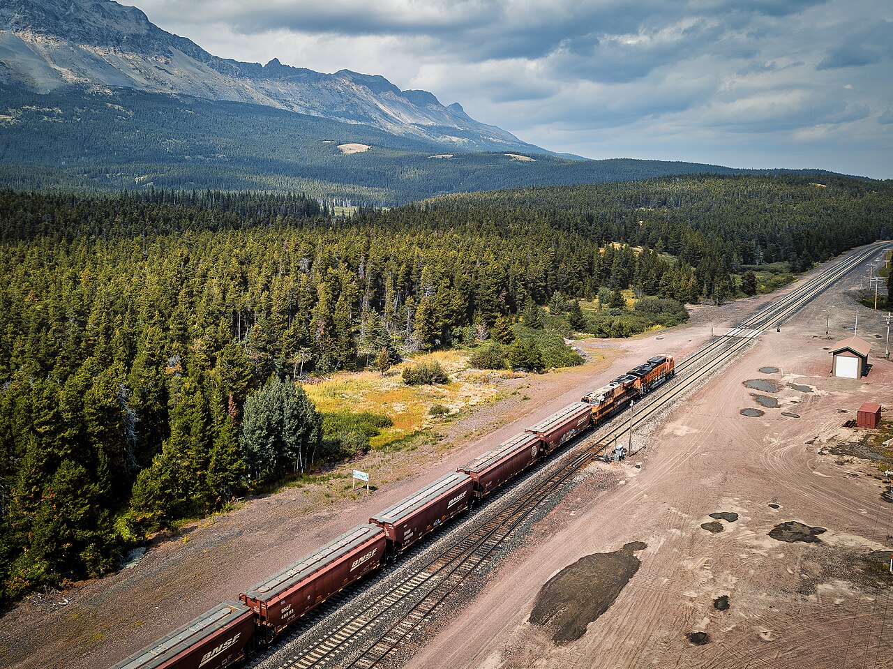
Marias Pass carries US-2 across the Continental Divide at the southern edge of Glacier National Park, in far-northern Montana. The posted summit elevation is 5,216 ft on the sign at the top (USGS marker; Wikipedia lists 5,213 ft). It is the lowest crossing of the Divide between Canada and central New Mexico, and the northernmost U.S. pass that stays open to automobile traffic year-round (Wikipedia). US-2 shares the corridor with the BNSF Railway and Amtrak's Empire Builder.
For a trucker, this is the through-route past Glacier. Going-to-the-Sun Road inside the park is seasonal and is not a truck route, so US-2 over Marias is the year-round commercial crossing of the Divide in this part of Montana and the main alternative to I-90 over MacDonald Pass farther south. The climb is unusually gentle for a Divide crossing. The east approach runs about 15.6 miles at roughly a 1.8 percent average grade, gaining around 1,744 ft (PJAMM Cycling). Wikipedia describes a broad, open valley one to six miles wide with scarcely a hill, which is exactly why railroad engineer John Stevens chose it.
Grade is not the worry here. Wind, ground blizzards, ice, and avalanche-corridor weather are. The east side near Marias Pass, East Glacier, and the Rocky Mountain Front is known for extreme downslope winds, and the west descent runs through one of the most active avalanche zones on any U.S. transportation mainline. The pass has no scheduled seasonal closure. When it does close, the cause is an event: avalanche control, a crash, or a blizzard. Check Montana 511 for live status.
- Posted summit elevation is 5,216 ft on the sign at the top; Wikipedia lists 5,213 ft (USGS marker; Wikipedia)
- Lowest crossing of the Continental Divide between Canada and central New Mexico, and the northernmost U.S. pass open to autos year-round (Wikipedia)
- East approach is about 15.6 miles at a 1.8 percent average grade, gaining roughly 1,744 ft (PJAMM Cycling)
- Montana's commercial chain-carry law runs October 1 through April 30 for towing units 26,001 lbs GVW or greater (MDT, MCA 61-9-436)
- Posted commercial chain segments on US-2: Goatlick Hill to Marias Pass, MM 179 to 199 eastbound, and Marias Pass, MM 192 to 199 eastbound (MDT chains page)
- Summit averages about 250 in of snow a year, over 20 ft (Wikipedia/NWS normals; one source cites about 260.7 in on 1941 to 1980 normals)
- Climate records run from 111 degrees F to minus 53 degrees F at or near the pass (Wikipedia/NWS)