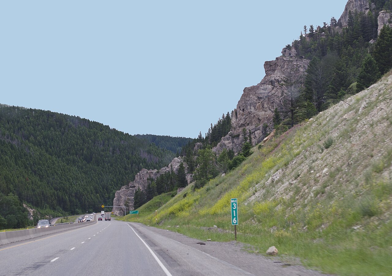
Bozeman Pass carries I-90 over the gap between the Bridger Range to the north and the Gallatin Range to the south, on the Gallatin and Park county line in southwestern Montana. It sits about 13 miles east of Bozeman and about 15 miles west of Livingston. The summit runs roughly 5,700 ft. Sources put it between about 5,702 ft on the USGS gap reading and about 5,760 ft where I-90 crosses, so treat it as a high climb without trusting any single false-precision number. The National Weather Service labels its forecast point here "Bozeman Pass I-90 MP 321.8," and the grade sits between Bear Canyon Rd at Exit 313 and Jackson Creek Rd at Exit 319.
This is one of the higher I-90 climbs in Montana and a recurring winter chokepoint. It closes again and again through the cold months for blowing snow, whiteout visibility, black ice, and the crashes that follow. The Livingston end is some of the worst high-wind road in the state, and trucks get blown over there. There is no avalanche risk documented for the pass itself, so do not let the elevation fool you into expecting one.
The climb from the Livingston side runs roughly 12 miles by secondary accounts, though MDT does not publish a confirmed maximum highway grade. Gear down for the descent and treat it as a long, sustained grade rather than quoting a hard percent that no DOT source backs. Before you run it, pull the live status from MDT 511 and the NWS point forecast. The pass has no scheduled closures; it shuts without warning, and the only reliable way to know is to check.
- Crosses I-90 between Bozeman and Livingston, at the Gallatin and Park county line, about 13 miles east of Bozeman (Wikipedia, citing USGS GNIS)
- Summit runs roughly 5,700 ft; sources range from 5,702 ft at the USGS gap to about 5,760 ft where I-90 crosses (Wikipedia)
- Separates the Bridger Range to the north from the Gallatin Range to the south (Wikipedia)
- NWS forecast point is labeled Bozeman Pass I-90 MP 321.8, with the grade between Exit 313 and Exit 319 (NWS Great Falls)
- Not the highest pass on I-90 in Montana; Homestake Pass at about 6,375 ft is higher (Wikipedia)
- MDT lists Bozeman Hill among its designated chain-up locations on I-90, alongside Lookout Pass, Homestake Pass, and Cardwell Hill (MDT chains.aspx)
- No scheduled closures and no reliable annual closure count; it shuts event by event during winter storms and high wind