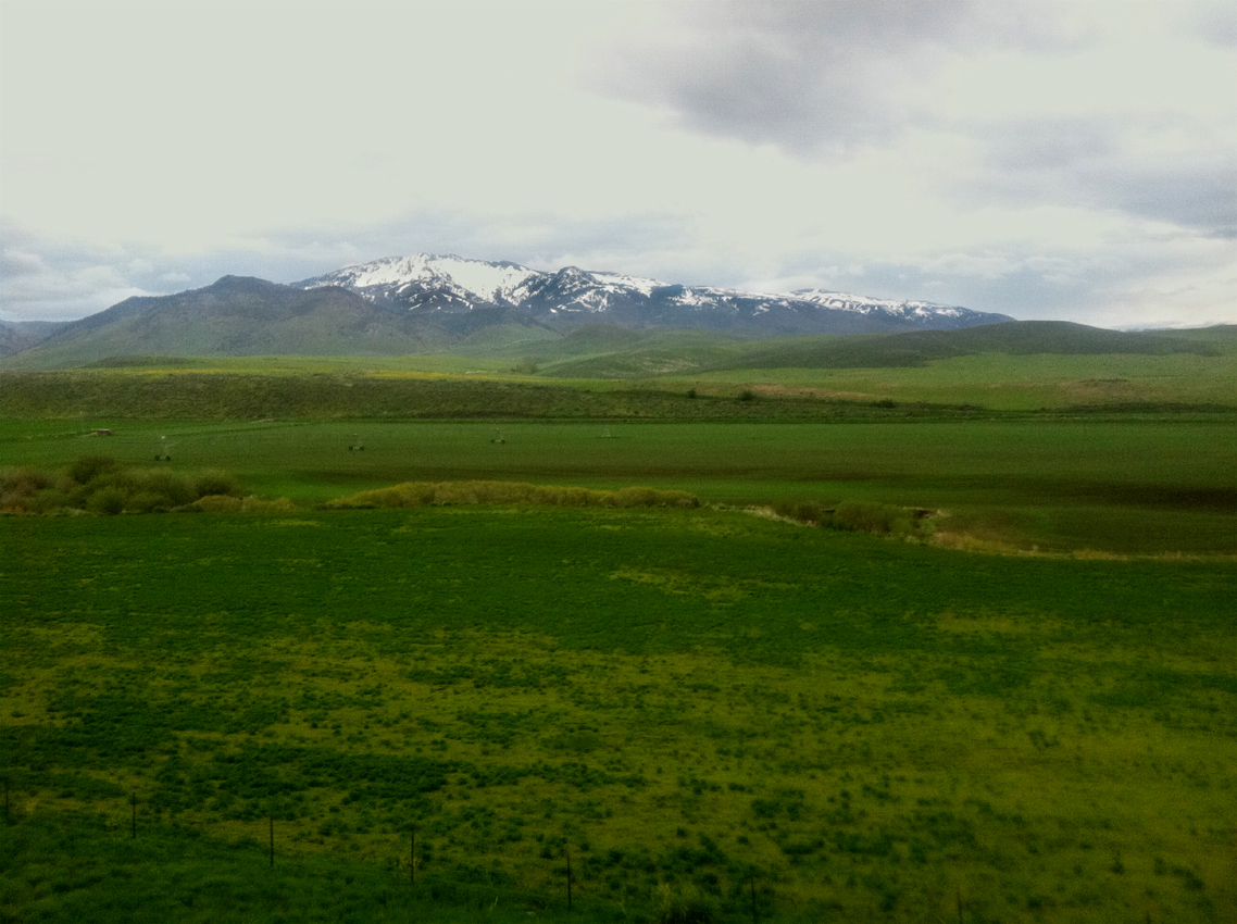
Malad Summit sits on I-15 in Oneida County, southeastern Idaho, north of Malad City. The freeway climbs out of the Malad Valley and crosses the Bannock Range, following the narrow Devil Creek valley with the Bannock Range to the east and Elkhorn Mountain to the west. The road tops out around 5,570 ft. That is roughly a thousand-foot climb up from Malad City, which sits at about 4,540 ft in the valley below.
For freight, this is the main north-south corridor. I-15 links Salt Lake City up through Pocatello, Idaho Falls, and on toward Butte, Montana. The Idaho line is about 13 miles south of Malad City, so for a northbound driver entering from Utah, Malad Summit is the first real climb in Idaho. The summit is also a watershed line. According to Wikipedia's Interstate 15 in Idaho page, the highway leaves the Great Salt Lake drainage and enters the Snake River drainage here, a quiet continental sub-divide between the Great Basin and the Columbia system.
The summit does not have a fixed seasonal closure. I-15 is an interstate and stays open year-round, closing only when a storm, high wind, or a crash forces ITD to shut it down. Conditions and closures post to Idaho 511. There is a southbound-only rest area at MP 25 with separate truck and passenger parking. There is no northbound rest area, and no posted chain-up or brake-check facility here that we could verify.
- Road summit elevation is about 5,570 ft, with geographic listings putting the high point near 5,574 ft (mapping aggregators, not a state DOT, so treat as approximate)
- Malad City at the base of the climb sits at 4,540 ft (Wikipedia, citing USGS GNIS), making the summit roughly a 1,000-foot climb above the valley
- The named geographic peak just off the highway runs about 5,604 to 5,617 ft (peakery / PeakVisor)
- Located in Oneida County, southeastern Idaho, with the summit and rest-area zone near MP 24 to 26 and the Devil Creek Reservoir interchange at Exit 22
- Malad Summit is NOT on Idaho's mandatory chain-up list; Idaho Code 49-948 names only Lookout Pass, Fourth of July Pass on I-90, and Lolo Pass on SH-12
- The southbound-only rest area sits at MP 25 with separate truck parking (idahorestareas.com); no northbound rest area and no verified chain-up or brake-check facility
- NWS Pocatello (WFO PIH) is the responsible weather office, issuing the wind and winter-storm warnings for this stretch of I-15 (weather.gov/pih)