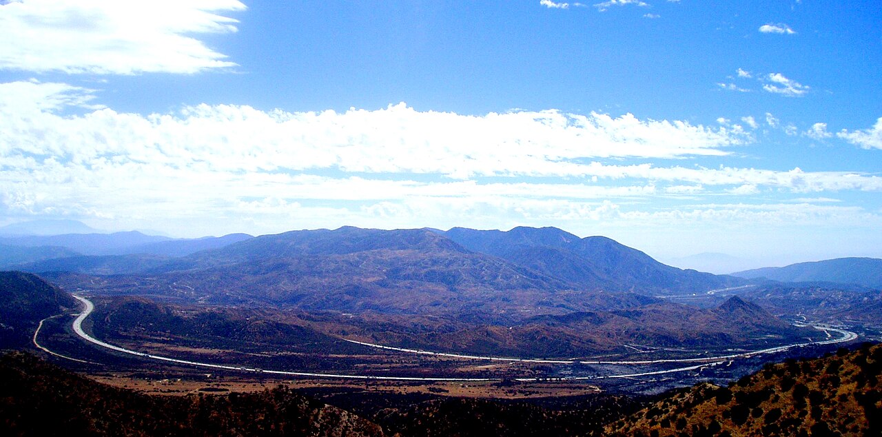
Cajon Pass carries I-15 between the San Bernardino Valley and the LA Basin on the south and the Mojave Desert, around Victorville and the Victor Valley, on the north. The road threads between the San Gabriel Mountains on the west and the San Bernardino Mountains on the east. One thing trips people up. I-15 actually tops out at Cajon Summit, sign elevation about 4,260 ft, not at the geologic Cajon Pass proper at 3,777 ft (1,151 m). Locals and the signs call the whole corridor "Cajon Pass" anyway. The full run over the pass is roughly 60 miles (about 96 km) south to north between San Bernardino and Barstow (Dangerous Roads).
For trucks the number that matters is the descent. The controlling grade is about 6% sustained for roughly 4 miles, the truck speed limit is 45 mph, and cars run 70 (Dangerous Roads; Wikipedia). A southbound brake-check and safety area sits near Cajon Summit. A runaway-truck escape ramp is on the right about 2.5 miles down the southbound grade (4newsplus.com; VVNG.com). Get into a low gear before you start down. Do not wait until you smell your brakes.
This is also one of the highest truck-volume corridors in the western U.S., the main freight link from the Ports of LA and Long Beach to the interior. The corridor moves an estimated 30 million tons of cargo a year, most of it by truck (FreightWaves Classics; SBCTA). All of Cajon Pass is flagged as a freight bottleneck with over 15,000 annual vehicle-hours of truck delay, and I-15 congestion is estimated to cost over $3 billion per year (SBCTA). The pass is one of the busiest rail crossings in the country too. BNSF owns three tracks handling up to about 150 trains a day, plus one Union Pacific track, and Amtrak's Southwest Chief runs the BNSF line daily (Wikipedia).
- Controlling grade is about 6% sustained for roughly 4 miles on the descent; truck speed limit 45 mph, cars 70 (Dangerous Roads; Wikipedia).
- I-15 crests at Cajon Summit, sign elevation about 4,260 ft; the geologic Cajon Pass is 3,777 ft (1,151 m) (Wikipedia; Dangerous Roads).
- Full run over the pass is roughly 60 miles (about 96 km), San Bernardino to Barstow (Dangerous Roads).
- Brake-check and safety area near Cajon Summit; runaway-truck escape ramp about 2.5 miles down the southbound grade (4newsplus.com; VVNG.com).
- Corridor moves an estimated 30 million tons of cargo a year, mostly by truck (FreightWaves Classics; SBCTA).
- Named freight bottleneck: over 15,000 annual vehicle-hours of truck delay; congestion estimated over $3 billion per year (SBCTA).
- Up to about 150 trains a day cross on three BNSF tracks plus one Union Pacific track (Wikipedia).