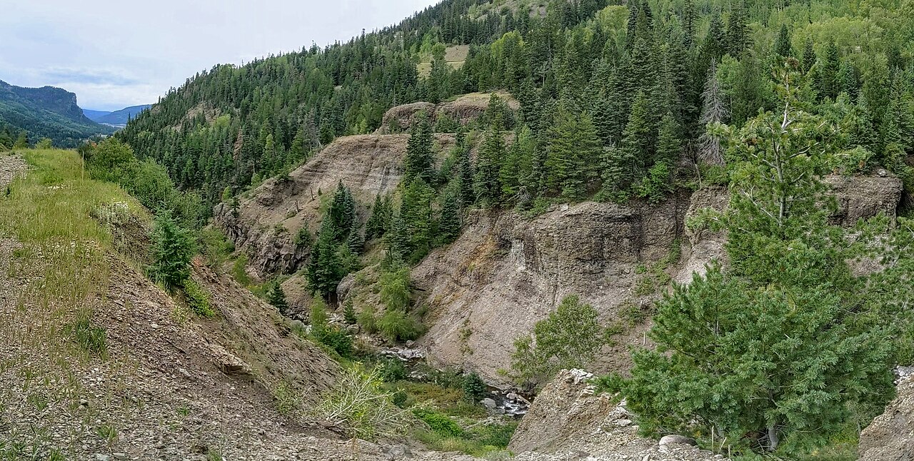
US-160 crosses the Continental Divide at Wolf Creek Pass, 10,857 feet up in the San Juan Mountains of southwest Colorado. The road links South Fork and the San Luis Valley on the east with Pagosa Springs and the southwest corner of the state on the west. The maximum grade is 6.8 percent on either approach. What truckers come here for, and what CDOT keeps warning them about, is the westbound side. From the summit near the Wolf Creek Ski Area, the road runs a sustained 7 percent downgrade for more than 8 miles down to the west base near Treasure Falls.
That descent is the whole problem. Westbound commercial vehicles have to hold 25 mph the whole way down, slower than the 25 to 45 mph posted for everyone else, and CDOT tells trucks to drop into low gear and stay off the brakes so they do not overheat and fade. Two runaway truck ramps sit on the west side. One is at mile marker 162.5, about 4.5 miles below the summit. The other is at MP 161, about 6 miles down, and it is the last chance to bail. There is no fee and no fine for using a ramp. About 6.5 miles below the summit, near the Wolf Creek scenic overlook, the road bends through a hairpin switchback where CDOT says most of the crashes happen.
Snow is the other half of the story. Wolf Creek is one of the snowiest spots in Colorado. Near the ski area at about 10,640 feet, the average is around 392 inches a year over the 1981 to 2010 normals, and snow is possible from September into June. That drives the chain law and the winter closures. A 900-foot tunnel and snowshed on the east side opened in November 2005, with the project wrapped in 2006, to shield the road from rockfall and slides.
- Summit 10,857 ft on US-160, crossing the Continental Divide in the San Juan Mountains (Wikipedia; CDOT)
- Maximum grade 6.8 percent; the critical westbound descent is a sustained 7 percent for more than 8 miles, summit to the west base near Treasure Falls (CDOT 'Beware the Wolf')
- Westbound commercial vehicles capped at 25 mph on the descent; descend in low gear, off the brakes (CDOT US 160 page)
- Two west-side runaway ramps: MP 162.5 (about 4.5 miles down) and MP 161 (about 6 miles down, the last chance); no fee or fine to use them (CDOT; CDLLife)
- 54 semi-truck crashes on the west side from 2015 to 2021, three of them fatal (CDOT, Aug 2023)
- About 392 inches of snow a year near the ski area, 1981 to 2010 normals; snow possible September through June (Current Results)
- Colorado's commercial Must Carry chain law covers US 160 from Sept 1 to May 31 (CDOT Must Carry Law)