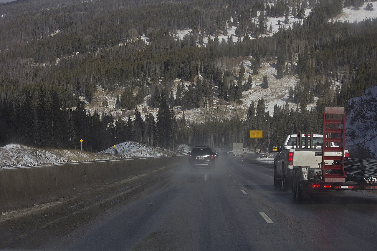
Vail Pass tops out at 10,662 feet (3,250 m) and carries I-70 across Colorado between Vail and the Copper Mountain/Frisco side, through Eagle and Summit counties (Wikipedia). The interstate over the pass went in between 1973 and 1978. It was one of the harder pieces of I-70 to build, on par with the Eisenhower Tunnel and Glenwood Canyon. Rather than blast into unstable slopes, engineers split the lanes around a wide natural median and ran the road up on viaducts in places. This stretch looks different from the cut-rock corridor to the east.
Truckers respect Vail Pass because of the westbound drop off the summit. It runs about 10 miles. The signs read "7% grade next 7 miles," and the road holds near a sustained 7 percent for most of the way down, starting around milepost 189. Signs at the top warn "Steep grade next 8 miles, trucks stay in lower gear." About a half-mile west of the summit there is a 45 mph advisory for vehicles over 30,000 pounds. Two runaway truck ramps back up the descent. The first sits near milepost 185, about 4 miles below the top. The second sits near milepost 182, about 7-plus miles down (crashforensics.com).
This is also one of six I-70 sections CDOT flags as high-risk. As of August 2024, commercial vehicles over 16,000 pounds cannot run the left lane over Vail Pass except to pass (CDOT). The pass closes often in winter. The cost is real. I-70 in the mountains logged 99 full closures totaling 161 hours in 2024, an estimated $300 million hit with roughly $2 million lost per hour a road is shut (Colorado Sun, Mar 2025).
- Summit 10,662 ft (3,250 m) on I-70, between Vail and Copper Mountain/Frisco (Wikipedia)
- Westbound descent runs about 10 miles, signed "7% grade next 7 miles," near a sustained 7% from around milepost 189 (crashforensics.com)
- Two westbound runaway truck ramps: near milepost 185 (about 4 miles down) and milepost 182 (7-plus miles down) (crashforensics.com)
- 45 mph advisory for vehicles over 30,000 lb about a half-mile below the summit; trucks told to stay in low gear (crashforensics.com)
- Commercial vehicles 16,000+ lb barred from the left lane except to pass, since August 2024 (CDOT)
- I-70 in the mountains had 99 full closures totaling 161 hours in 2024, an estimated $300M impact, about $2M lost per hour (Colorado Sun, Mar 2025)