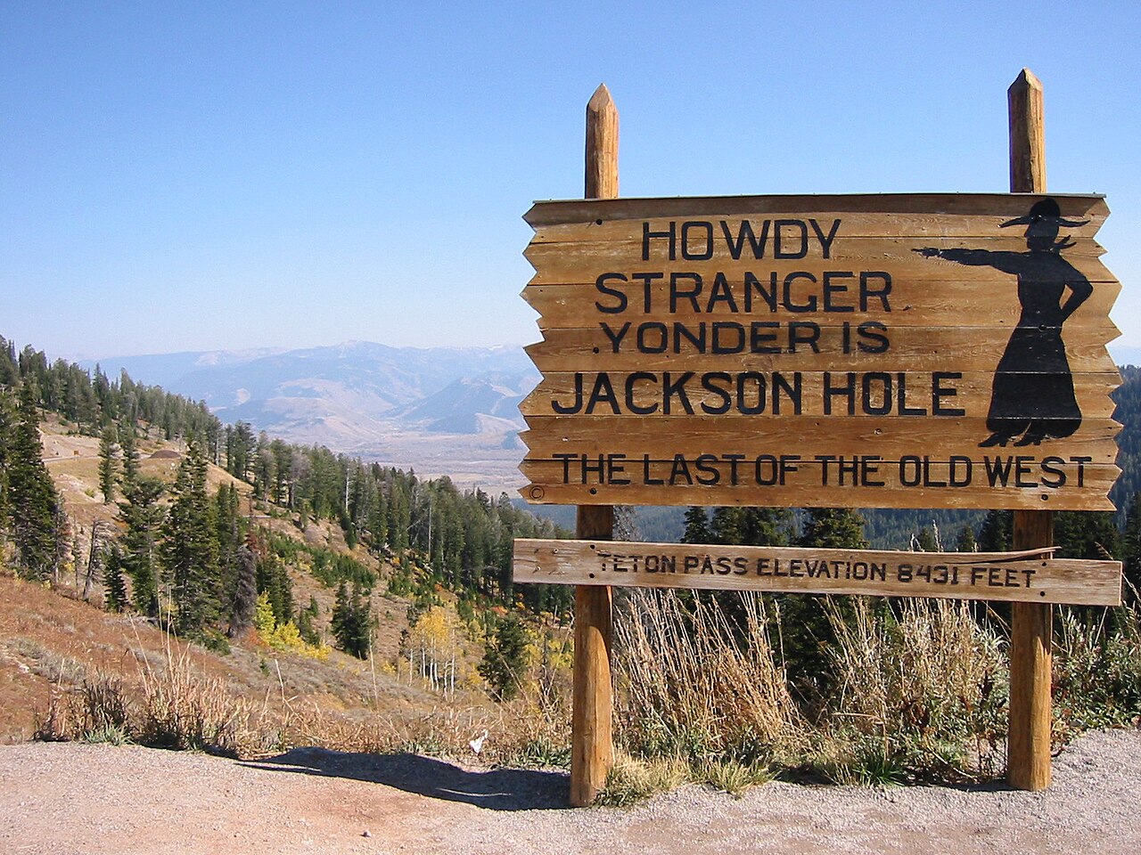
Wyoming Highway 22 climbs over Teton Pass to connect Jackson, Wyoming with Idaho State Highway 33 near Victor, Idaho. The summit sign reads 8,431 feet (Wikipedia lists 8,435 ft), and the whole state highway runs 17.494 miles. From the base near Wilson on the Wyoming side, the road gains about 2,400 feet to the top. From the west terminus it climbs over 1,700 feet in 6.4 miles along Trail Creek. This is not a relaxed mountain road. The original 1960s alignment holds a sustained 10 percent grade, among the steepest of any major US highway, and the temporary detour built after the 2024 landslide is graded steeper still at 11.2 percent.
Teton Pass is a commuter corridor first and a freight route second, and the rules show it. A 60,000 lb maximum weight restriction applies at all times on WY 22 between Wilson and the Idaho state line. No trailers of any kind are allowed over the pass between November 15 and April 1 each winter. WYDOT reports an Annual Average Daily Traffic near 10,000 vehicles, with summer peaks up to 15,000. Roughly 3,000-plus Idaho residents drive over the pass to work in Jackson Hole every day because of Jackson's housing costs. When the pass closes, that traffic faces a 60-plus-mile detour, which is why a Teton Pass shutdown lands hard on both sides of the line.
Winter on the pass is mostly about snow on the slopes above the road. WYDOT manages about 70 avalanche paths along the corridor. The two that most directly threaten the highway are Glory Bowl and Twin Slides on Mount Glory. Those two close the road most often for control work. The bigger lesson of recent years came in summer. On June 8, 2024 a section of the road at milepost 12.8 slid off the mountain after rapid snowmelt saturated the clay beneath the fill, severing WY-22 for 20 days.
- WY 22 runs 17.494 miles over Teton Pass between Jackson, WY and Idaho SH 33 near Victor, ID (Wikipedia)
- Summit 8,431 ft per the roadside sign; Wikipedia lists 8,435 ft
- Sustained 10 percent grade on the original road, 11.2 percent on the post-2024 detour, among the steepest of any major US highway (Wikipedia, Wyoming Highway 22)
- 60,000 lb maximum weight at all times between Wilson and the Idaho state line; no trailers Nov 15 to Apr 1 (Wyoming Highway Patrol)
- Annual Average Daily Traffic near 10,000 vehicles, up to 15,000 in summer; roughly 3,000-plus Idaho commuters cross daily (WYDOT collapse media kit; Mountain Journal)
- About 70 avalanche paths along the corridor; Glory Bowl and Twin Slides on Mount Glory directly threaten the road (Jackson Hole News&Guide)
- On June 8, 2024 the road at milepost 12.8 collapsed in a landslide and was severed for 20 days, forcing a 60-plus-mile detour (WYDOT collapse media kit)