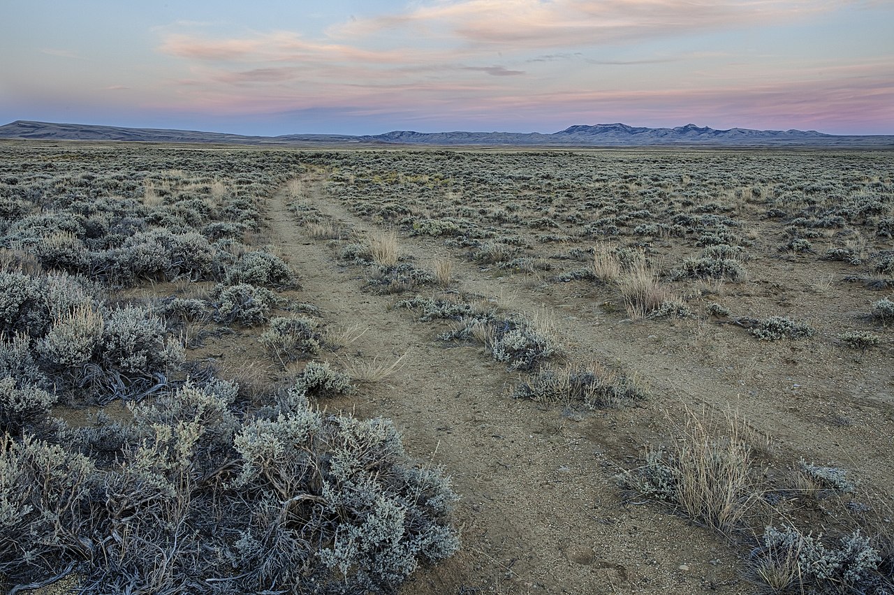
South Pass is the broad saddle where Wyoming Highway 28 crosses the Continental Divide at 7,550 ft. Despite the prompt's framing, the summit is not on US-287. WY-28, the South Pass Highway, is the road that climbs over the pass. It meets US-287/WY-789 about 8 miles south of Lander at its east end, so US-287 is the connection, not the crossing. The original Oregon Trail pass about 2.5 miles to the southeast sits a little lower at 7,412 ft. This is one of the lowest crossings on the Continental Divide, a gentle approach rather than a steep alpine notch. The BLM describes it as an almost imperceptible approach to the divide, an easy grade to and through the mountains.
For truckers, WY-28 is the diagonal shortcut. It is 96.4 miles, two-lane its whole length, maintained by WYDOT. It runs from a split with WY-372 in Sweetwater County, past Farson at US-191, across the high plains and over the pass, then down past Red Canyon to the US-287/WY-789 junction near Lander. That line links the I-80 corridor and US-191 (Pinedale, Rock Springs area) to Lander, Riverton and central Wyoming without a long detour. The Wyoming Highway Patrol flags the route for long, steep grades and severe weather.
What makes this pass tricky is not a knife-edge climb. It is the wind and the remoteness. The road closes to light and high-profile vehicles for dangerous winds, sometimes in summer, and it shuts to all travel in winter whiteouts. There are no services for long distances, and help can take a long time to arrive. WHP also notes wildlife is a hazard along most of the highway. Check WYDOT 511 before you commit a load to it.
- Summit elevation where WY-28 crosses: 7,550 ft; the original Oregon Trail pass nearby is 7,412 ft (Wikipedia, BLM)
- WY-28 is 96.4 miles, two-lane its entire length, maintained by WYDOT (Wikipedia)
- South Pass is one of the lowest crossings on the Continental Divide, a broad gentle saddle (BLM)
- The pass is on WY-28, not US-287; WY-28 meets US-287/WY-789 about 8 miles south of Lander (Wikipedia, AARoads)
- Level 2 chain law has been enforced here, documented Feb. 7, 2025 (County 10)
- Wind closures set a moving GVW cutoff per storm, from 20,000 up to 50,000 GVW in 2025 (County 10)
- Chain law fines run up to $250, or $750 if the violation causes a highway closure (WYDOT Chain Law)