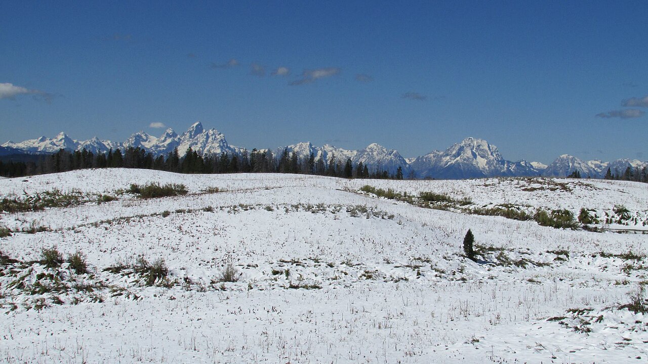
Togwotee Pass carries US-26 and US-287 together over the Continental Divide in northwestern Wyoming, at roughly 9,658 feet (Deseret News; Wikipedia lists 9,655). The summit sits in the Absaroka Range in Teton County, between Two Ocean Mountain and Breccia Peak, inside Bridger-Teton National Forest. It is the most direct way into Grand Teton National Park from eastern Wyoming, linking Dubois on the Wind River side to Moran Junction and the Jackson Hole valley. The summit is about 25 miles east of Moran Junction.
For a driver, this is a high winter crossing first and a scenic drive second. Annual snowfall at the pass often tops 25 feet, and heavy winters have brought more than 50 feet (Wikipedia; Wyoming Highway Patrol). Blizzards, blowing snow, fog, high wind and ice all close the road, sometimes for days at a time. The highway also runs through avalanche-prone country, and wildlife is a year-round hazard. The Wyoming Highway Patrol commercial-carrier page lists steep grades, drop-offs and wildlife among the primary concerns here.
The whole stretch is part of the Wyoming Centennial Scenic Byway, a 163-mile route connecting Dubois, Jackson and Pinedale. The byway follows US-26/287 over the pass between Dubois and Moran Junction and crosses the Divide at the summit. The Forest Service designated it in 1989 and named it for Wyoming's statehood centennial. Plan the crossing around the weather, check Wyoming 511 before you commit, and treat the descent on either side with respect.
- Summit elevation is roughly 9,658 ft (Deseret News); Wikipedia and the Wyoming Highway Patrol carrier page list 9,655 ft. It crosses the Continental Divide.
- US-26 and US-287 run concurrently over the pass; the summit is about 25 miles east of Moran Junction (Wikipedia).
- Annual snowfall often exceeds 25 ft, with over 50 ft reported in heavy winters (Wikipedia; Wyoming Highway Patrol).
- The road is part of the 163-mile Wyoming Centennial Scenic Byway connecting Dubois, Jackson and Pinedale (Wikipedia; windriver.org).
- Wyoming chain-law violations cost $250, or $750 if the violation causes a highway closure (WYDOT chain_law page).
- The 2005 to roughly 2013 reconstruction of the 38-mile highway cost more than $146 million, widened lanes to 12 ft, added eight-foot shoulders, and lowered the speed limit from 65 to 55 mph (Deseret News).
- No official grade percentage or climb length for Togwotee was located in DOT sources, and there are no named chain-up areas, brake-check areas or runaway ramps documented for this pass.