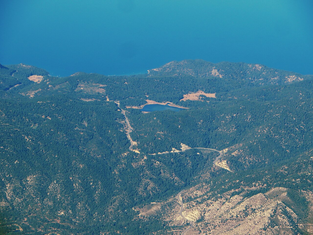
Spooner Summit sits on US-50 where the highway crosses the Carson Range, the eastern wall of the Sierra Nevada in Douglas County, Nevada. It is the main truck route between Carson City and US-395 on the east side and the Lake Tahoe east shore (Glenbrook and Zephyr Cove) on the west. The top of the pass is just east of Spooner Lake. Wikipedia puts the elevation at 7,146 ft (2,178 m). Several road and trail listing sites give 7,158 ft instead, and there is no single NDOT-published figure to settle which is right, so treat both as in circulation.
For a driver hauling between Carson City and the Tahoe basin, the work is on the east side. That stretch is a long, sustained climb on the way up and a steep grade on the way down. How steep, in a verified grade percentage, is not something the reviewed sources publish. What the sources do show is telling: NDOT built two truck escape ramps on the Carson City to Spooner stretch, both next to steep downgrades and filled with rounded gravel to stop a runaway. Ramps like that do not get built for a gentle hill.
This is not a pass that closes for the season. US-50 over Spooner stays open year round and is managed with chain controls when storms move through. It shuts only when something goes wrong, a spinout, a stuck rig, or a crash, and reopens once the road is clear. The corridor also runs under a stricter Tahoe chain standard than the rest of Nevada, so the rules here are worth knowing before you climb.
- Elevation about 7,146 ft (2,178 m) per Wikipedia; some listing sites cite 7,158 ft, and no single NDOT figure settles it.
- US-50 crosses the Carson Range in Douglas County, linking Carson City and US-395 to the Lake Tahoe east shore at Glenbrook and Zephyr Cove (Wikipedia; NV SHPO Marker 261).
- NDOT operates two truck escape ramps on US-50 between Carson City and Spooner Summit, eastbound, one near Golf Club Drive (NDOT Truck Escape Ramps).
- Vehicles over 10,000 lbs GVW must chain up when controls are posted; one set of chains per semi-trailer regardless of axle count, none on a tag axle (NDOT Traction Device Requirements).
- Since the 2018-19 winter, snow tires alone are not enough on the Glenbrook to Carson City stretch; you need 4WD/AWD with snow tires or approved chains (South Tahoe Now, Nov 2018).
- NDOT cited more than 300 crashes in three recent winters across the three Tahoe highways, including US-50 Glenbrook to Carson City, as the reason for the stricter rule (South Tahoe Now, Nov 2018).
- No scheduled winter closure; the pass closes only situationally during storms or crashes, such as the Jan 4, 2017 westbound closure for a stuck semi (Carson Now, Jan 2017).