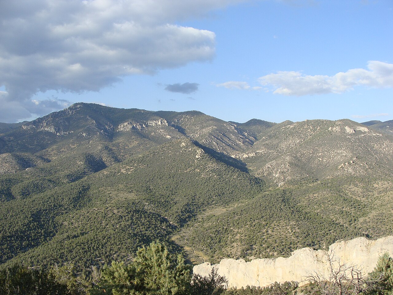
Connors Pass is the high point on US-50 in Nevada, the road Life magazine once called "the Loneliest Road in America." The signed summit reads 7,722 ft, which makes it the second-highest highway pass in the state after the Mt. Rose Highway (NDOT). It crosses the Schell Creek Range in White Pine County, out in Great Basin country, on a two-lane road that climbs hard and then drops the same way.
One thing makes this crossing different from most. Three U.S. routes run together over the summit as a single road: US-6, US-50, and US-93. They split a few miles southeast at Majors Place, where US-93 turns south toward Pioche and Las Vegas while US-50 keeps east toward Great Basin National Park and the Utah line. So when weather shuts the pass, it pinches three highways at once. Ely, the county seat about 22 miles northwest of the summit, is the last full-service town before you climb.
This is a year-round highway, not an alpine pass that gates shut for the season. It gets temporary closures and chain control during winter storms, then reopens. Grades run up to about 8% with numerous curves (dangerousroads.org), and at 7,700 feet on an exposed ridge the weather can turn fast. There is no truck-escape ramp anywhere on this section, so plan your descent and your brakes before you start down.
- Signed summit elevation is 7,722 ft; some databases list 7,729 ft (NDOT summit sign; dangerousroads.org)
- Highest point on US-50 in Nevada and the state's second-highest highway pass after the Mt. Rose Highway (NDOT)
- Three U.S. routes run concurrently over the top: US-6, US-50, and US-93 (NDOT summit sign)
- Grades run up to about 8% with numerous curves (dangerousroads.org)
- Ely sits about 22 miles northwest and is the last full-service town; US-93 south from Majors Place runs about 80 miles to Pioche with almost nothing between (roadtripusa.com)
- Studded snow tires are legal October 1 through April 30, a fair proxy for the winter-traction season (NDOT)
- No truck-escape ramp on this section; Nevada's escape ramps are all in the west (NDOT)