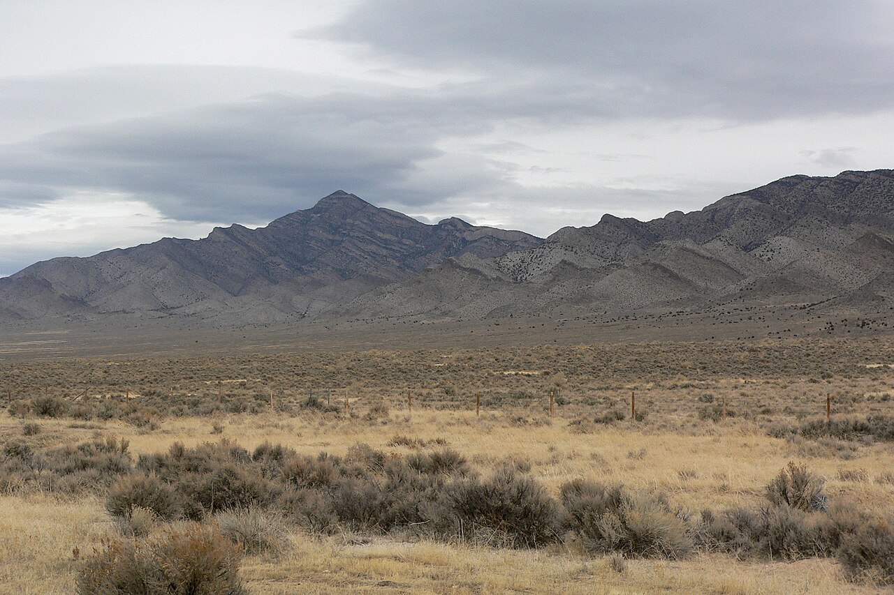
Robinson Summit sits on US-50 in White Pine County, central-eastern Nevada, west of Ely in the Egan Range. It tops out at about 7,600 ft. Sources put the exact number somewhere between 7,588 and 7,641 ft, so treat "about 7,600 ft" as the honest figure rather than a single precise one. This is high-desert country, not a Sierra or Tahoe pass, and that distinction matters for what you carry and what you check before the run.
US-50 across this stretch is the road they call "The Loneliest Road in America." It is two lanes of remote, open desert with long gaps between fuel and help. Robinson Summit is the highest of four named passes on the run between Eureka and Ely, joining Pinto, Pancake, and Little Antelope. The climb from Ely is long and gradual, roughly 1,150 ft of gain over about 18 miles. A few pitches reportedly reach 8 percent, but the road never feels like a short steep grade. The defining features here are distance and exposure.
For a trucker, the main concerns are wind, blowing snow, and isolation. The summit is exposed enough that NDOT runs a dedicated weather station and RWIS camera here. About 77 miles separate Eureka and Ely with minimal services in between, so if conditions turn, your bailout options are thin. Robinson Summit is normally open all year. When it closes, a specific storm or a crash causes it, and you find out through Nevada 511.
- Located in the Egan Range, White Pine County, central-eastern Nevada, west of Ely (Wikipedia, Topozone)
- Elevation about 7,600 ft, with sources ranging from 7,588 to 7,641 ft (AARoads, Wikipedia, WindAlert/NDOT station)
- Highest of four named US-50 passes between Eureka and Ely, alongside Pinto (7,376 ft), Pancake (6,521 ft), and Little Antelope (7,438 ft) (AARoads)
- Climb from Ely runs about 1,150 ft over roughly 18 miles, gradual rather than steep, with pitches reported up to 8 percent (cyclepass.com, dangerousroads.org)
- About 77 miles separate Eureka and Ely with minimal services in between (AARoads)
- NDOT runs a dedicated weather station and RWIS camera at the summit because of the wind (WindAlert/NDOT station, traffic-cams.com)
- Part of US-50, known as The Loneliest Road in America