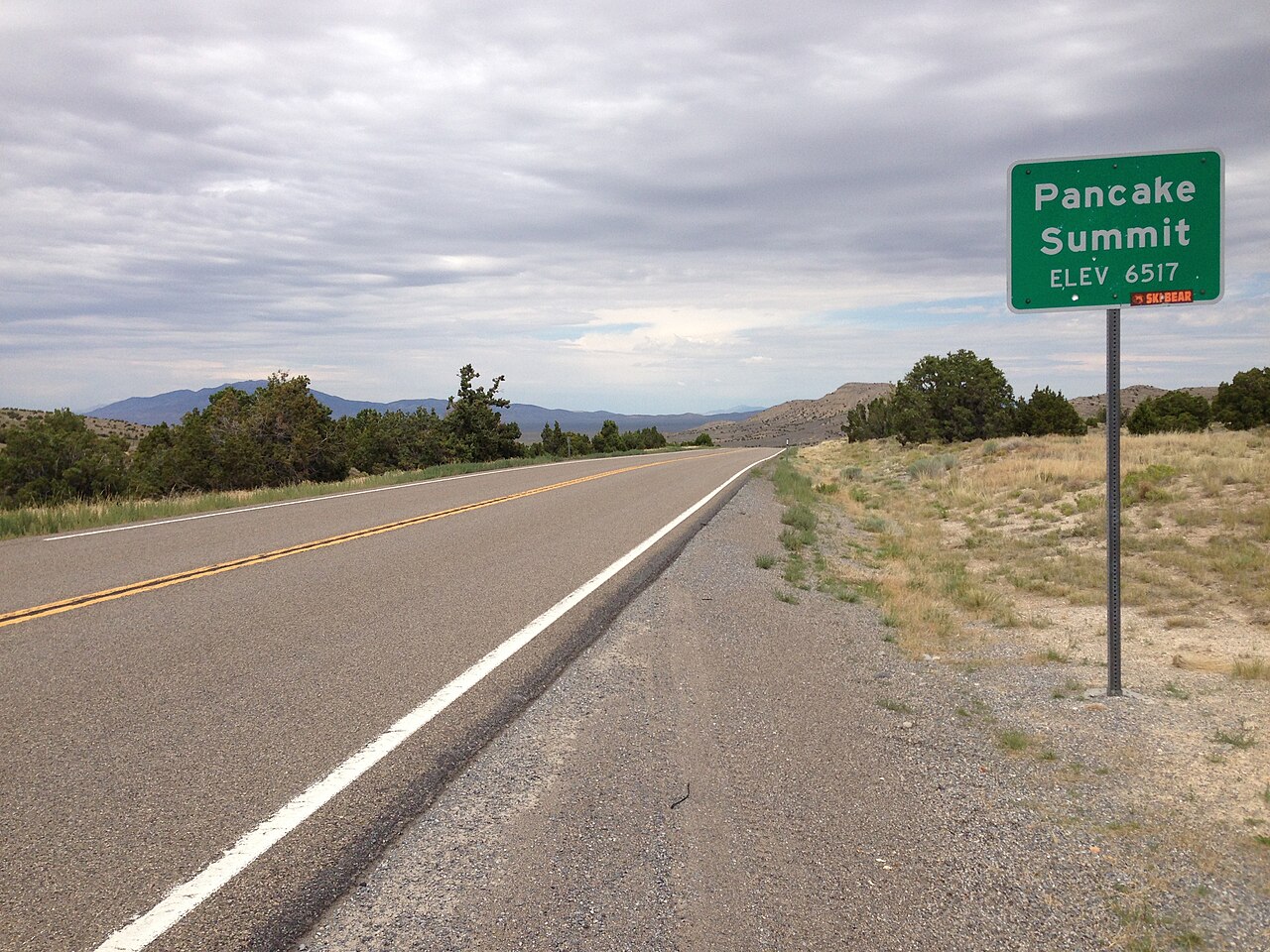
Pancake Summit sits at 6,521 ft (Wikipedia "Pancake Range"; AARoads) in a gap at the very north end of the Pancake Range, in White Pine County, Nevada. It carries US-50 across the high desert on the roughly 77-mile run between Eureka to the west and Ely to the east. This is the stretch Life magazine called "The Loneliest Road in America" back in 1986, and the name fits. There is no parallel interstate, almost nothing between the two towns, and long distances between any kind of service.
Truckers should know that Pancake is not the only climb here. It is one of four named summits on the Eureka to Ely segment, and it is the lowest of them. AARoads lists Pinto Summit at 7,376 ft, Pancake at 6,521 ft, Little Antelope at 7,438 ft, and Robinson at 7,588 ft. So even when Pancake itself is clear, a driver can hit worse snow and wind a few miles up the road at one of the higher passes. Plan the whole segment, not just this one crossing.
A note on what is not published. Pancake is a low-profile crossing with no dedicated NDOT chain-control page, no named brake-check area, and no state-sourced grade spec specific to it. Nevada runs chain control statewide by posted sign, not pass by pass like California. Treat US-50 here as generally open year-round with intermittent weather closures, and check Nevada 511 for live status before you run it.
- Elevation 6,521 ft at the summit (Wikipedia "Pancake Range"; AARoads); a separate US-50 in Nevada article lists 6,517 ft, a survey rounding difference
- Location: a gap at the north end of the Pancake Range, White Pine County, on US-50 between Eureka and Ely
- Lowest of four named summits on the Eureka to Ely run; the others are Pinto 7,376 ft, Little Antelope 7,438 ft, Robinson 7,588 ft (AARoads)
- Eureka to Ely is roughly 77 miles of two-lane high desert with essentially no towns between (Wikipedia "U.S. Route 50 in Nevada")
- No pass-specific chain order; Nevada chain control is posted by sign statewide under NRS 484D.515 and 484D.520
- Maintained from NDOT's Ely Maintenance Station, (775) 289-1700 (NDOT brochure)
- No published grade percentage or closure-day count exists for this pass; do not rely on a number that is not sourced from NDOT