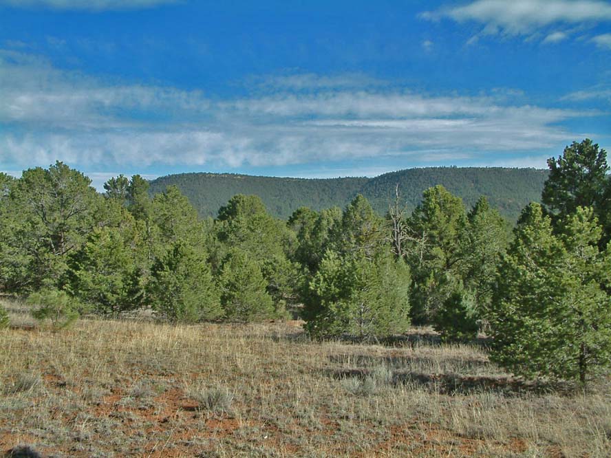
Glorieta Pass sits in the Sangre de Cristo Mountains of northern New Mexico, in Santa Fe County, southeast of Santa Fe. It is the most direct way through the mountains between the upper Pecos River valley to the east and the upper Rio Grande valley to the west. I-25 crosses here, along with U.S. 84, U.S. 85, and the BNSF Railway. The same gap once carried the westernmost leg of the Santa Fe Trail.
For a trucker, this is the climb on the main Santa Fe to Colorado leg of I-25. The summit is roughly 7,450 to 7,500 feet. I-25 crosses near 7,452 feet per the route description in Wikipedia's "Interstate 25 in New Mexico." No official grade percent is published, so treat the crossing as a long moderate grade rather than a steep one, with a winding descent through Apache Canyon on the west side north of Exit 294.
New Mexico does not run a mandatory chain-control program. There is no chain-law season here, no posted chain-up levels, and no named chain stations on Glorieta Pass that show up in any state source. Closures are weather driven and discretionary. NM State Police and NMDOT shut segments during storms, and NMDOT names the I-25 corridor between Santa Fe and the Colorado border as a likely closure zone in winter. Check NMRoads.com before you roll.
- Summit sits roughly 7,450 to 7,500 ft; I-25 crosses near 7,452 ft (Wikipedia, "Interstate 25 in New Mexico")
- Carries I-25, U.S. 84, U.S. 85, and the BNSF Railway through the Sangre de Cristo Mountains (Wikipedia, "Glorieta Pass")
- Key exits include 290 (US 285), 294 (Cañoncito at Apache Canyon), 297 (Valencia), and 299 (NM 50, Glorieta/Pecos) (Wikipedia, "Interstate 25 in New Mexico")
- No official grade percent or climb length is published by NMDOT in the sources reviewed
- New Mexico has no mandatory chain-control program and no posted chain stations on the pass
- NM Stat. 66-3-847 permits chains or studded snow tires when required for safety because of snow or ice
- NMDOT names the Santa Fe to Colorado border I-25 corridor among likely winter closures (NMDOT blog, Nov. 6, 2024)