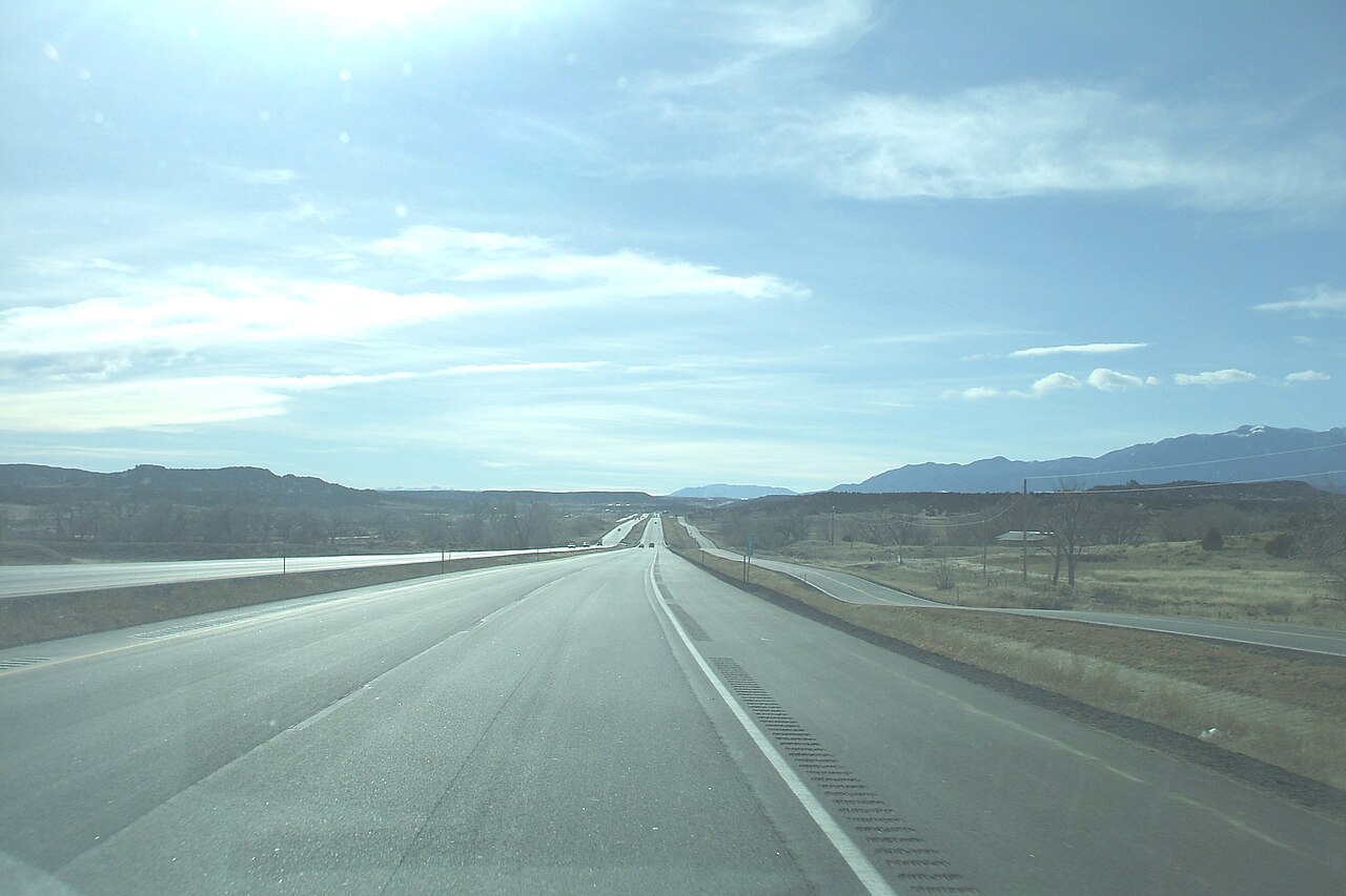
Interstate 25 runs 1,062 miles from Las Cruces, New Mexico to Buffalo, Wyoming, hugging the eastern edge of the Rocky Mountains and serving the major cities of the Front Range: Albuquerque, Santa Fe, Pueblo, Colorado Springs, Denver, and Cheyenne. It is the only continuous north-south interstate between I-15 in Utah and I-35 in central Texas, making it the main north-south freight route through the central Mountain West.
The corridor climbs and descends repeatedly. From Las Cruces it gains elevation steadily through New Mexico, crests Raton Pass (7,834 ft) at the Colorado border, drops into Trinidad, climbs again across the Palmer Divide between Colorado Springs and Denver, and stays above 5,000 ft through Cheyenne and into Wyoming. Weather is the dominant operational concern: high-wind closures across the Wyoming portion are routine, the Front Range is exposed to ground blizzards, and the Raton Pass segment closes regularly in winter.
For freight, I-25 connects the Permian Basin energy economy via I-40, the Denver intermodal hubs, and the freight gateway at Casper / Buffalo where I-25 meets I-90 for connections east. Truck volumes through the Denver metro are heavy, and the I-25 / I-70 interchange (the "Mousetrap") ranks among the worst truck bottlenecks in the country (No. 26 nationally, ATRI 2025 Top 100 Truck Bottlenecks).
- Crosses Raton Pass (7,834 ft) at the New Mexico-Colorado border
- Spans the entire Front Range, Albuquerque to Buffalo, WY
- Concurrent with US-87 across most of Wyoming
- Highest elevation in metro use (Monument Hill, CO) ~7,352 ft
- Designated high-wind closure corridor across most of Wyoming
- Connects to I-10, I-40, I-70, I-76, I-80, and I-90
- Only continuous N-S interstate between I-15 in UT and I-35 in TX