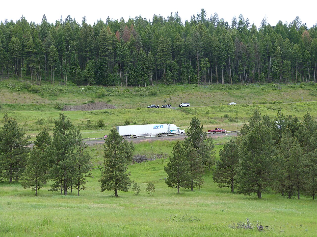
Blue Mountain Summit sits at 4,193 ft near Kamela, the literal high point of the I-84 crossing through Oregon's Blue Mountains. Wikipedia calls it the second highest point of any freeway in the state. The crossing links Pendleton, down around 1,070 ft, with La Grande and Baker City to the southeast. This is the main freight corridor tying the Columbia and Willamette region to Idaho and the Intermountain West, and there is no clean way around it. East-west freight comes through here.
Two spots on this mountain get confused, so keep them straight. The 4,193 ft summit is the high point near Kamela. The famous brake-and-grade drama is at Cabbage Hill, also called Emigrant Hill or Deadman Pass, the switchback section just east of Pendleton and lower in elevation (the Deadman Pass area runs around 3,615 ft). Truckers treat the whole Blue Mountains crossing as one job, but the hazards cluster on Cabbage Hill.
Cabbage Hill is the part that bites. Wikipedia describes the highway climbing about 3,000 ft on a series of switchbacks over roughly 8 miles, with a maximum grade of 5 to 6 percent. Other accounts put it at about 2,000 ft over 6 miles at 6 percent with double-hairpin turns. Either way, you get a long sustained grade stacked on top of severe winter weather, which is why brakes, ice, and un-chained trucks drive most of the trouble here.
- Blue Mountain Summit elevation is 4,193 ft near Kamela, called the second highest freeway point in Oregon (Wikipedia, Interstate 84 in Oregon)
- Cabbage Hill climbs about 3,000 ft on switchbacks over roughly 8 miles at a maximum 5 to 6 percent grade (Wikipedia)
- Deadman Pass / Cabbage Hill area sits lower than the summit, around 3,615 ft (dangerousroads.org)
- Oregon's studded-tire legal window is Nov 1 to Mar 31, a useful proxy for the winter chain window (ODOT Chains and Traction Tires)
- Key weight line for light vehicles is 10,000 lbs GVW; medium is 10,001 to 26,000, commercial is 26,001 and up (ODOT)
- Commercial fine for not chaining when required is $880 per incident (ODOT / Elkhorn Media Group)
- The final eastern Oregon section of I-84 opened July 3, 1975 near Baker City (Wikipedia)