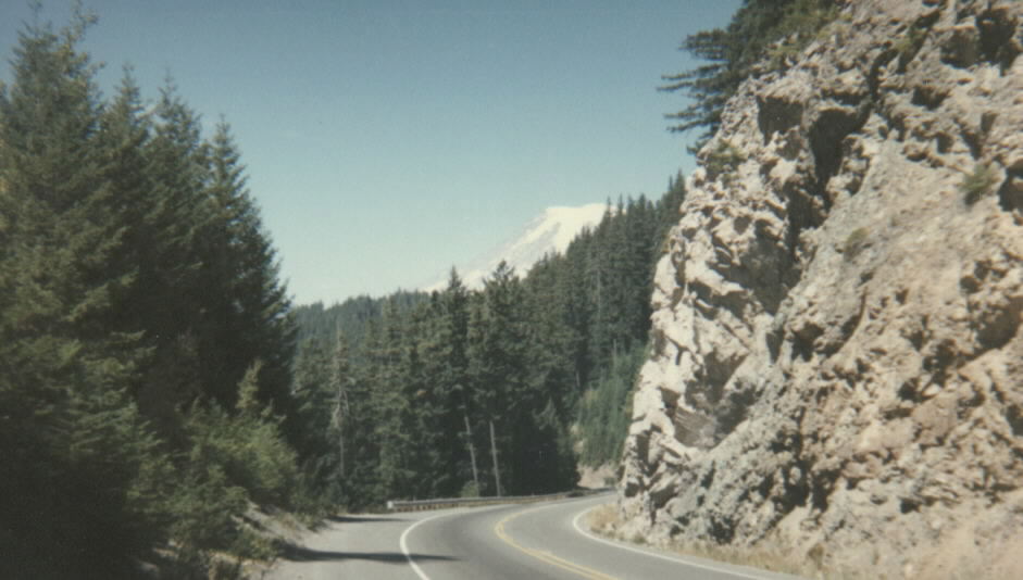
White Pass carries US-12 over the Cascade Range in Washington, southeast of Mount Rainier and just north of the Goat Rocks. Within the state system the highway is signed SR-12. The summit sits at 4,500 ft (1,372 m). The pass is the cross-Cascades shortcut between Packwood on the west side, in Lewis County, and the Naches and Yakima area on the east side, in Yakima County.
Truckers care about this one for a simple reason. White Pass is the only year-round Cascade crossing between I-90 over Snoqualmie Pass to the north and SR-14 through the Columbia River Gorge to the south. It carries regular log-truck and commercial traffic, and the White Pass Ski Area at the summit adds weekend volume in winter. Unlike the North Cascades Highway, Chinook Pass, and Cayuse Pass, which WSDOT closes for the season, White Pass stays open all year.
A note on the climb. No WSDOT source gives a clean maximum grade percent or an exact climb length for White Pass, so any specific number you see online is unverified. What is sourced is the road segment itself: the full pass road from Silver Beach to Packwood runs about 28 miles and is paved but steep in parts (dangerousroads.org, a travel source, not a DOT). The chain-control corridor runs from Packwood to Naches, roughly 52 miles.
- Summit elevation is 4,500 ft / 1,372 m (WSDOT; Wikipedia).
- Highway is US-12, signed SR-12 in Washington, crossing the Cascades southeast of Mount Rainier.
- Connects Packwood (west, Lewis County) with Naches and Yakima (east, Yakima County).
- Only year-round Cascade crossing between I-90 / Snoqualmie Pass and SR-14 in the Columbia River Gorge (Wikipedia).
- Chain corridor runs Packwood (MP 135) to Naches (MP 187), about 52 miles (WAC 204-24-050; WSDOT).
- Chains must be carried by vehicles over 10,000 lbs GVWR from November 1 to April 1 (WSDOT; WAC 204-24-050).
- Not on WSDOT's seasonal-closure list; maintained year-round (WSDOT avalanche-control page).