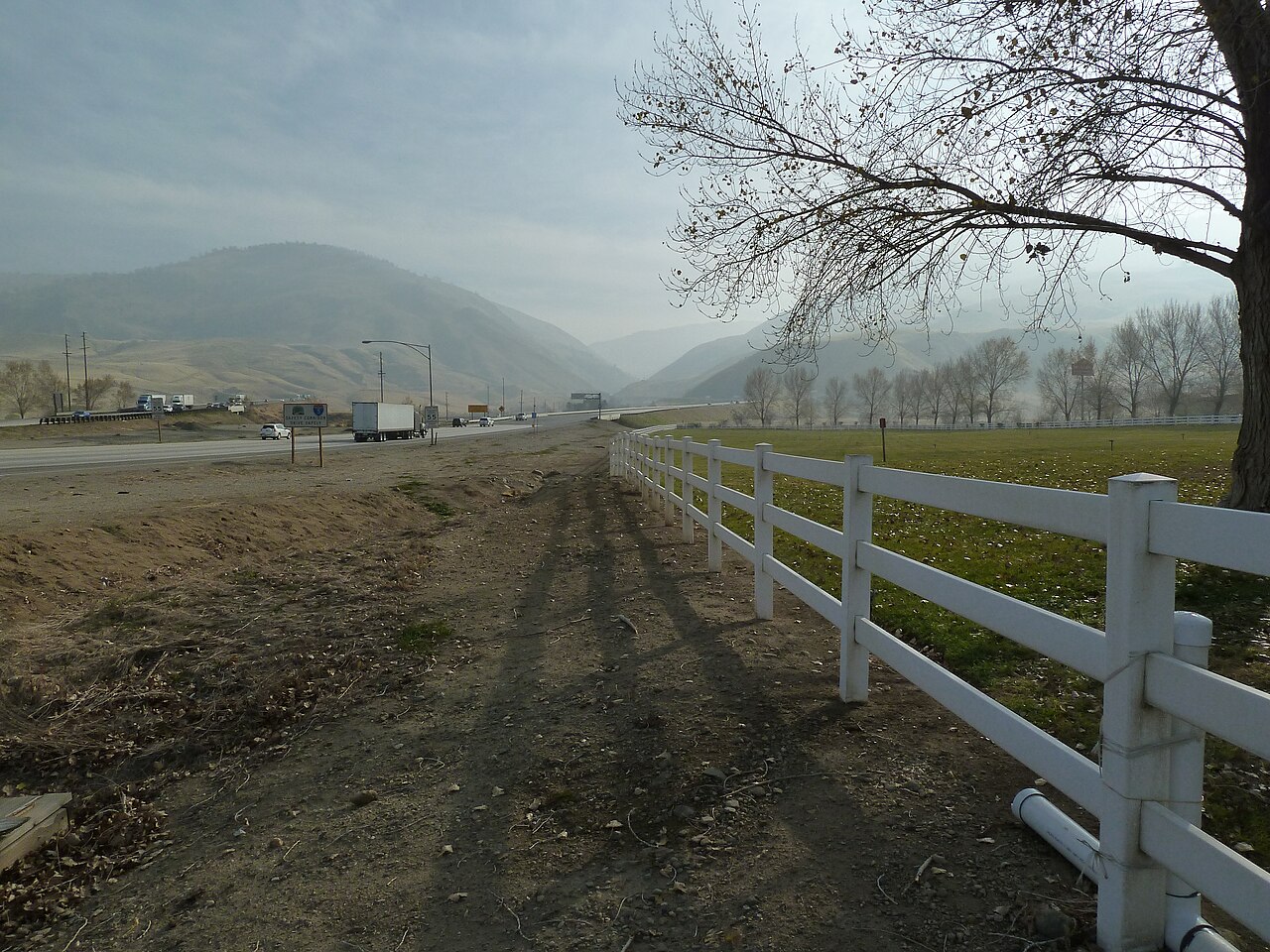
Tejon Pass is the only freeway link between the Los Angeles Basin and the San Joaquin Valley, and just about everyone who drives it calls it the Grapevine. Interstate 5 climbs out of the Santa Clarita and Castaic side, tops out at the summit, then drops toward Bakersfield. The summit is the highest point of I-5 in California at 4,144 ft (Wikipedia, Tejon Pass). The pass sits roughly 70 miles northwest of downtown LA and 46 miles south of Bakersfield (Wikipedia, Tejon Pass). The name traces back to the Spanish "La Cañada de las Uvas," Grapevine Ravine, for the wild grapes along the old road through the canyon (Wikipedia, Grapevine, California).
The north side, into Kern County, is the part that gets respect. It runs a 6% grade for about 5 miles, dropping roughly 1,600 ft into Grapevine Canyon (Wikipedia, Grapevine, California; dangerousroads.org). Northbound from Tejon Summit the road falls about 2,613 ft over 11.6 miles (dangerousroads.org; socalregion.com). That sustained downgrade is what cooks brakes on loaded trucks. Two runaway truck escape ramps sit along the steep descent for that reason (Wikipedia, Tejon Pass; crashforensics.com). The pass also marks where California's two largest fault systems, the San Andreas and the Garlock, cross (Wikipedia, Tejon Pass).
For a trucker the real planning problem is winter. Snow and ice at the 4,100-plus-foot summit shut the road most years, and there is no parallel freeway to fall back on. When CHP closes the Grapevine, the only practical reroute is US 101 along the coast, which adds real distance and hours. Right now there is one more wrinkle. Both I-5 rest areas on the Kern County side are closed for a long water and wastewater upgrade, so the usual staging spot on the climb is gone until 2027.
- The summit is the highest point of I-5 in California at 4,144 ft (Wikipedia, Tejon Pass).
- The north side runs a 6% grade for about 5 miles, dropping roughly 1,600 ft into Grapevine Canyon (dangerousroads.org; Wikipedia, Grapevine, California).
- Northbound from Tejon Summit the road falls about 2,613 ft over 11.6 miles (dangerousroads.org).
- Two runaway truck escape ramps sit along the steep northbound descent for rigs that lose their brakes (Wikipedia, Tejon Pass).
- The pass is roughly 70 miles northwest of downtown LA and 46 miles south of Bakersfield (Wikipedia, Tejon Pass).
- A full closure spans about 40 miles of I-5 from Castaic and Parker Road to Grapevine Road; the only detour is US 101 (CBS Los Angeles; Caltrans District 7).
- Both Kern County I-5 rest areas closed in May 2026 for upgrades and are not expected to reopen until August 2027 (BakersfieldNow; KGET; SCVNews).