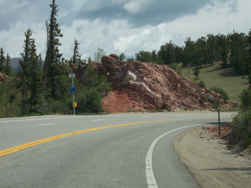
Red Hill Pass carries US-285 across the northern end of South Park, in the foothills of the Mosquito Range in Park County, Colorado. It sits about 6 miles northeast of Fairplay, the county seat. The summit is the highest point on US-285. Exact elevation is a little fuzzy: USGS-cited sources put it at about 9,993 ft, while the route description for US-285 lists 10,051 ft and an NWS forecast point at the pass reads 10,013 ft. Call it right around 10,000 ft and do not trust any single hard number.
For all that altitude, this is a broad, mild crossing, not a white-knuckle grade. Wikipedia, citing USGS topographic mapping, says the pass is easily traversable by most vehicles and rarely closes in winter. The commonly cited grade is about 6%, but that figure comes from road-enthusiast sites (mesalek.com, dangerousroads.org), not a CDOT survey, so treat it as ballpark. If you are hauling north on US-285 from the New Mexico line toward Denver, Red Hill is a high point you pass over on the way to Jefferson, Kenosha Pass, Bailey, and Conifer, not a major climb you fight.
The real worry here is weather, not slope. South Park is open, high, and exposed, and wind plus snow can build whiteouts and ground blizzards that shut the road. One important note for drivers: the dangerous truck reputation people attach to US-285 belongs to Crow Hill at Bailey, a separate spot roughly 50 miles east and about 3,000 ft lower. Do not confuse the two. Red Hill Pass itself is the calm one.
- Highest point on US-285; summit elevation is about 9,993 ft per USGS-cited sources, with other references at 10,013 ft and 10,051 ft (Wikipedia / NWS Denver-Boulder)
- Located in the Mosquito Range foothills at the north end of South Park, about 6 mi northeast of Fairplay, Park County (USGS / Wikipedia)
- Commonly cited grade of about 6%, from road-enthusiast sites rather than a CDOT survey (mesalek.com / dangerousroads.org)
- Broad, mild pass that is easily traversable by most vehicles and rarely closes in winter (Wikipedia, citing USGS topo)
- US-285 is a chain-law and Must-Carry corridor; CMVs over 16,000 lb must carry chains Sept 1 to May 31 (CDOT)
- Noncompliance fine is about $500 plus a $79 surcharge; getting stuck and blocking the road runs $1,000 plus a $157 surcharge (CSP / CDOT)
- No runaway truck ramp on US-285 anywhere; Colorado's 13 ramps sit on I-70, US-550, US-50, US-160, US-141 and US-40 (Colorado Sun, 2023)