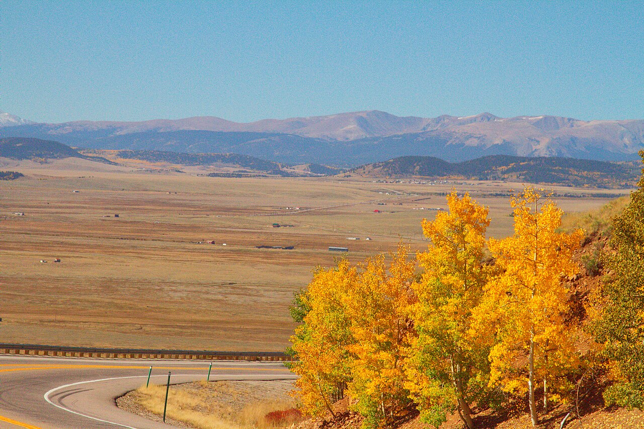
Kenosha Pass carries U.S. Route 285 over the southern Front Range in Park County, Colorado, southwest of Denver and northeast of Fairplay. On the east and north side the road drops to Grant, in the North Fork South Platte River valley. On the west and south side it opens into Jefferson and the wide, high basin of South Park. If you run freight out of Denver toward Fairplay, Buena Vista, or the San Luis Valley, this is the main line and the usual alternative to I-70.
The summit sits at about 10,000 ft. Sources disagree on the exact figure: Wikipedia lists 9,984 ft, and you will also see numbers near 9,991 ft and just over 10,001 ft depending on who measured it. The climb runs roughly 11.9 miles between Jefferson and Grant by enthusiast accounts (dangerousroads.org, Uncover Colorado), so treat that length as approximate, not a DOT survey. The east approach is the gentler side and the west side is the steeper one.
One honest gap: nobody publishes a verified highway grade percentage from CDOT or an engineering source for the modern road. Tourist sites throw out 5, 6, even 8 percent with nothing behind them, so we leave a hard grade number off the page. What you can count on is a sustained climb and descent over a 10,000 ft summit, open meadows near the crest that catch wind and blowing snow, and a road that CDOT names in its commercial chain law. Jack-knifed semis are a recurring reason it closes.
- US-285 over Kenosha Pass links Grant on the east to Jefferson and South Park on the west, in Park County, Colorado (Wikipedia, Kenosha Pass).
- Summit elevation is about 10,000 ft; Wikipedia gives 9,984 ft and other sources range up to just over 10,001 ft (Wikipedia, Kenosha Pass).
- The climb runs roughly 11.9 miles between Jefferson and Grant, an approximate figure from enthusiast sources (dangerousroads.org).
- US-285 is a named corridor in Colorado's commercial Must Carry chain law (CDOT, Must Carry Law, Oct 2025).
- Commercial vehicles must carry chains or alternate traction devices from Sept. 1 to May 31, regardless of weather (CDOT, Must Carry Law).
- The Grant Chain-Up Station, south of Grant, was built to serve Kenosha Pass traffic and finished in 2023 (CDOT, Park County Chain-Up Stations).
- No verified highway grade percentage exists from a DOT or engineering source, so no grade number is given here.