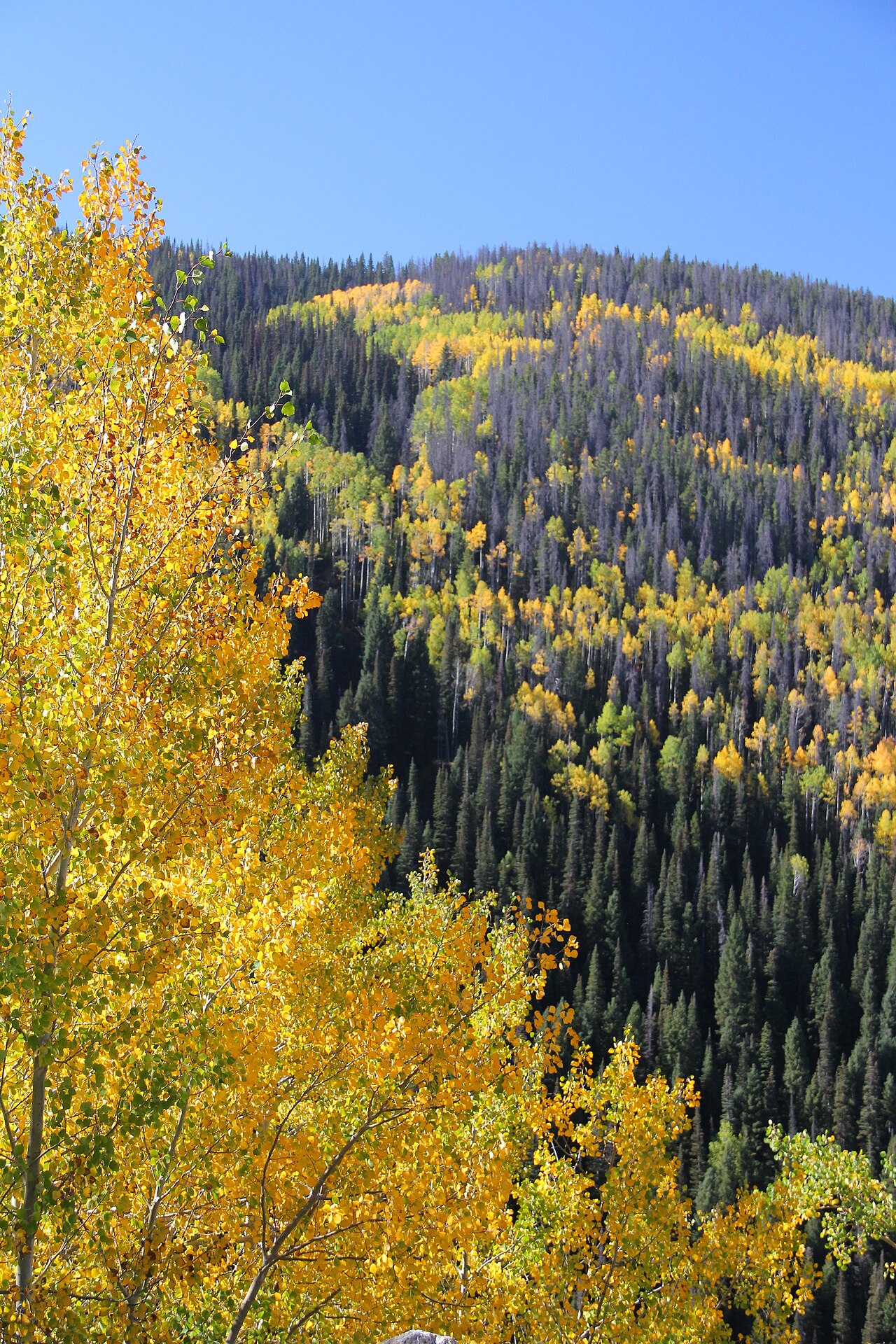
US Highway 40 climbs over Rabbit Ears Pass between Steamboat Springs on the west and Kremmling on the east. The pass straddles the Continental Divide on the Park Range, and it links the Yampa River basin with North Park and the North Platte drainage. The main east summit sits at 9,426 feet. A lower west summit runs around 9,400 feet, and the road rolls gently near the top before it gives way to the hard descent on the Steamboat side.
The grades are why trucks pay attention here. Westbound toward Steamboat Springs, the road drops roughly 3,000 feet in about 7 miles through a run of sharp curves. CrashForensics measured a vertical descent of 2,467 feet over about 7.5 miles at a reported 7 percent grade. Eastbound is the easier of the two. It loses about 1,197 feet over roughly 5.5 miles. Wikipedia ranks Rabbit Ears the 28th steepest pass in Colorado and notes a single runaway truck ramp on the western descent. That ramp sits on US-40 around mile marker 142 just south of Steamboat Springs. The Colorado Sun reported it was used 10 times in a five-year window, the third-most-used runaway ramp in a state that has 13 of them.
Winter is the other half of the job. The pass takes over 300 inches of snow a year and runs through avalanche terrain on the Park Range, so conditions change fast. CDOT's traction and chain control segment covers US-40 from mile marker 136 south of Steamboat Springs to mile marker 154 near Dumont Lake Campground. The road is maintained year-round and is not seasonally closed. Storms, drifting, avalanche control work, and crashes still shut it temporarily and without much warning. Check COtrip.org or the CDOT app before you commit to the climb.
- Main east summit 9,426 ft on US-40, with a lower west summit around 9,400 ft (Wikipedia)
- Westbound drops roughly 3,000 ft over about 7 miles; CrashForensics measured 2,467 ft over 7.5 mi at a reported 7 percent grade (Wikipedia; CrashForensics)
- Eastbound is milder, about 1,197 ft over roughly 5.5 mi (CrashForensics)
- Ranked the 28th steepest pass in Colorado, with one runaway truck ramp on the western descent (Wikipedia)
- Runaway ramp at about mile marker 142 was used 10 times in five years, third-most of Colorado's 13 ramps (Colorado Sun, Dec 3 2023)
- Chain and traction control segment runs US-40 from MM 136 to MM 154 near Dumont Lake Campground (Steamboat Pilot & Today; CDOT)
- Over 300 inches of snow a year in a designated Park Range avalanche corridor (Steamboat Pilot 'Killer Curves'; NWS/CAIC)