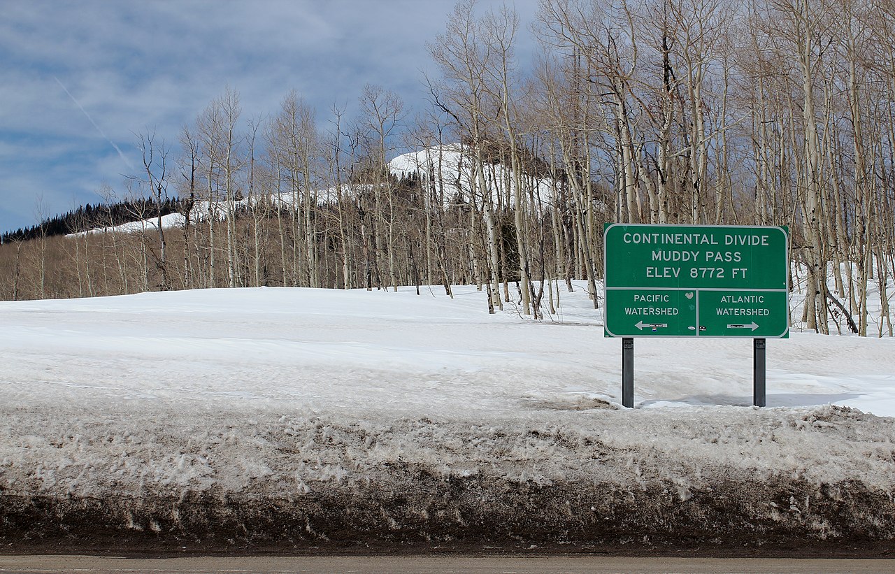
Muddy Pass is a Continental Divide crossing on U.S. 40 in northern Colorado, summit elevation 8,772 ft, right on the line between Jackson and Grand counties. It sits in the gap between the Park Range to the north and the Rabbit Ears Range to the east. US-40 carries traffic over it between Kremmling and Steamboat Springs. As Continental Divide crossings go in this state, it is one of the lowest you can drive. Wikipedia describes it as rarely closed in winter, with a mild approach on both sides and no switchbacks or tight spots.
For a trucker, Muddy Pass is the easy half of a paired climb. Westbound, US-40 tops Muddy Pass first. About 3 miles further west it crosses the higher Rabbit Ears Pass at 9,426 ft. Then the real work begins: the steep drop into Steamboat Springs. Rabbit Ears is roughly 500 ft higher than Muddy, and it is the harder of the two. So when people talk about "the pass" on this stretch, the grade and the curves and the runaway ramp all belong to Rabbit Ears, not to Muddy.
The hard part is the western descent off Rabbit Ears toward Steamboat. That side runs a 6.8% grade that drops about 3,000 ft over roughly 7 miles, with sharp curves, ranked the 28th steepest pass in Colorado. The eastern side toward Muddy Pass is far gentler. Wikipedia notes US-40 descends along a slow incline on that side. Live pass status, chain-law activations, the brake-check and chain stations, and cameras all come from CDOT at COtrip (maps.cotrip.org), which lists dedicated US-40 Rabbit Ears Pass Chain Station/Brake Check points for both eastbound and westbound traffic.
- Muddy Pass summits at 8,772 ft (2,674 m) on the Continental Divide, on the Jackson/Grand county line (Wikipedia, Muddy Pass).
- Rabbit Ears Pass, about 3 miles west, is roughly 500 ft higher at about 9,426 ft and is the steeper, harder crossing (Wikipedia; Uncover Colorado).
- The west descent off Rabbit Ears into Steamboat is a 6.8% grade dropping about 3,000 ft over roughly 7 miles, 28th steepest pass in Colorado (Wikipedia, Rabbit Ears Pass; crashforensics.com).
- One runaway truck ramp sits on US-40 westbound near milepost 142 (Wikipedia, Rabbit Ears Pass; crashforensics.com).
- Commercial chain law: vehicles over 16,000 lb GVWR must carry chains or approved traction devices Sept 1 to May 31 from MP 256 (Empire) to the Utah border, which includes this segment (CDOT Freight; CDLLife).
- Steamboat Springs is about 24 miles west; Kremmling is roughly 30 minutes south (Uncover Colorado).
- US-40 over Muddy Pass is plowed and open year-round; Wikipedia notes it is rarely closed in winter (Wikipedia).