← All passes
Mountain pass No. 28 No live data

Keysers Ridge

Keysers Ridge is the high crest of I-68 in northern Garrett County, Maryland, and the highest point on the entire Interstate system in the state. It sits inside Interchange 14, where I-68 meets US 219 and US 40. Sources put the elevation at roughly 2,880 to 2,894 ft, so treat any

2,898Elevation (ft)
883Metres
I-68Route
MDState
Interstate 68 (the National Freeway) seen looking west from the U.S. 40/219 overpass at Keysers Ridge in Garrett County, Maryland.
Interstate 68 (the National Freeway) seen looking west from the U.S. 40/219 overpass at Keysers Ridge in Garrett County, Maryland.Famartin / Wikimedia Commons · CC BY-SA
00 Live conditions
No live data
No live condition feed for this pass right now. Check the state DOT or 511 before you climb.
01 Overview

Keysers Ridge is the high crest of I-68 in northern Garrett County, Maryland, and the highest point on the entire Interstate system in the state. It sits inside Interchange 14, where I-68 meets US 219 and US 40. Sources put the elevation at roughly 2,880 to 2,894 ft, so treat any single figure with a little caution. The Wikipedia I-68 article cites 2,880 ft; the Keysers Ridge community article and VisitMaryland cite about 2,894 ft.

For a driver, this is the pivot point of I-68 in western Maryland. Coming up from the West Virginia line you climb to the ridge, and east of the summit the road runs down the long descents toward Cumberland. The Eastern Continental Divide on I-68 falls between Finzel and Keysers Ridge, which is part of why the weather can flip on you near here. The crest is exposed, so it is often the first place to ice or fog up.

One thing to keep straight: the famous 6 percent, 13-mile grade with the mandatory truck-stop sign and the runaway ramps is not the Keysers Ridge climb. That grade is Big Savage Mountain, well to the east toward Cumberland, around milepost 67. Keysers Ridge is the weather summit. Big Savage is the brake test. They are two different places on the same highway.

  • Highest point on I-68 and the highest spot on any Maryland interstate, inside Exit 14 (Wikipedia I-68; VisitMaryland)
  • Elevation cited at about 2,880 to 2,894 ft; sources disagree (Wikipedia I-68 gives 2,880 ft; Keysers Ridge article and VisitMaryland give ~2,894 ft)
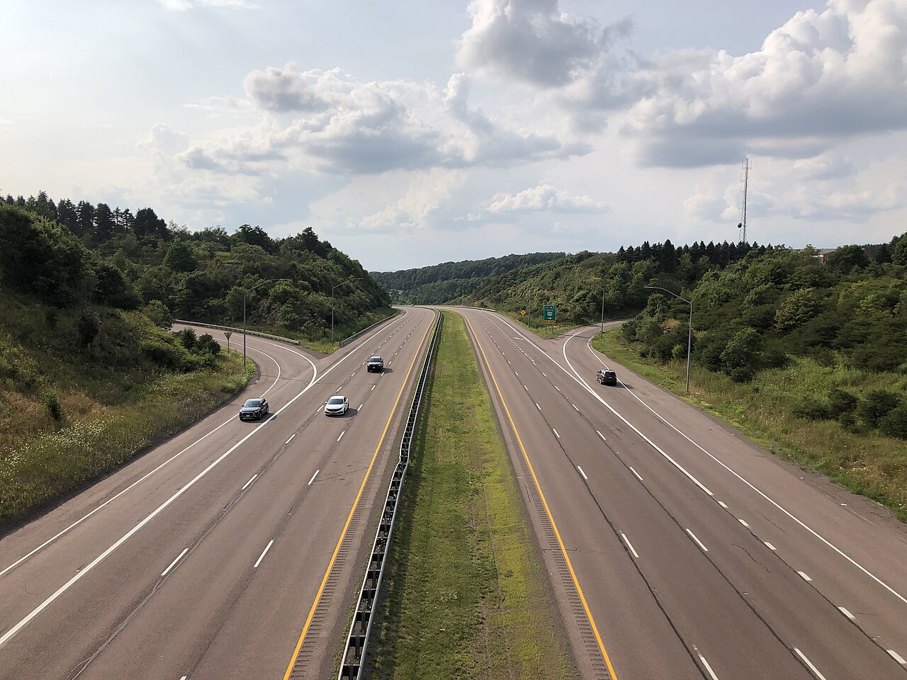
  • Exit 14 is a cloverleaf where I-68 meets US 219 (14A) and US 40 (14B), with US 40 ALT tying in nearby (Wikipedia I-68)
  • The Eastern Continental Divide on I-68 falls between Finzel and Keysers Ridge (Wikipedia I-68; Waymarking ECD sign)
  • Garrett County around the ridge is the snowiest part of Maryland; SHA logged 272.4 inches near Keysers Ridge in winter 2009-10 (Cumberland Times-News, March 1, 2010)
  • Maryland runs no chain-control system: no chain levels, no chain-up areas, no brake-check stations (Maryland tire/chain-law summaries; ATA chain-law table)
  • Named for William Keyser, a vice president of the Baltimore & Ohio Railroad (Wikipedia, Keysers Ridge, Maryland)
02 Chain controls & closures

There is no chain-control season here, because Maryland does not operate a chain-control system. No chain levels, no chain-up areas, no brake-check stations on I-68 or anywhere in the state. Chains are at the driver's discretion for snow and ice. Maryland law can require chains only during a declared snow emergency on designated highways, and even then that requirement does not apply to vehicles over 10,000 lb, so it does not reach loaded commercial trucks. In short, nobody is going to chain you up at Keysers Ridge, and there is no gate that closes for the winter. I-68 over the ridge is a year-round interstate. When it closes, it closes for an incident (a crash, a hazmat spill, heavy fog) and reopens once the scene clears, usually after several hours.

03 Notable hazards
Hazard

Dense fog at the crest

The elevation makes Keysers Ridge prone to thick fog. In late January 2023 a hazmat tractor-trailer overturned in dense fog at the 14-mile marker and closed westbound I-68 for hours before reopening early the next day, with no injuries (Cumberland Times-News / Maryland State Police).

Hazard

Heavy snow

This is the snowiest part of Maryland. SHA reported 272.4 inches near Keysers Ridge in winter 2009-10, and an NWS observer in nearby Oakland logged 290 inches that season against an average near 86 inches (Cumberland Times-News, March 1, 2010). Plan on real winter at this elevation.

Hazard

Early icing on the high crest

As the high point of I-68, and with the Eastern Continental Divide sitting between Finzel and Keysers Ridge, the ridge ices early and the weather can change right here. Treat the deck as slick before the lower road looks bad (Wikipedia I-68; Waymarking ECD sign).

Hazard

High wind

The ridge is exposed to strong northwest winds. Winter forecasts for the Garrett County zone routinely show NW winds in the 15 to 25 mph range gusting 35 to 45 mph during winter events (NWS Garrett County zone forecast MDZ001). That is forecast data, not a fixed record, but it tells you what to expect up top.

Hazard

Brake fade on the descents east of the ridge

East of Keysers Ridge toward Cumberland, the sustained 6 percent grades of Big Savage Mountain cook brakes; drivers say Cumberland smells like hot brakes. Three sand-bed runaway ramps sit on that eastbound descent, not at the summit (Mountain Directory East; TruckersReport driver accounts).

04 History

I-68 reached Keysers Ridge in two stages in the mid-1970s. The 14-mile segment from the West Virginia state line up to Keysers Ridge opened in November 1975 (Roadstothefuture.com gives November 13, Wikipedia gives November 15, a one-day discrepancy). The 13-mile segment from Finzel Road east to Keysers Ridge opened on August 13, 1976, connecting the ridge eastward. The full corridor was finished and designated Interstate 68 on August 2, 1991. The whole project, Appalachian Corridor E, ran from 1963 to 1991 at about $481 million (Roadstothefuture.com; Wikipedia I-68).

The ridge had a rough reputation long before the interstate. On the old National Road, travelers feared Keysers Ridge for its harsh weather, owing to its ridgetop position (Wikipedia, Keysers Ridge, Maryland). The modern record bears that out. In winter 2009-10, SHA measured 272.4 inches of snow at its garage near Keysers Ridge, beating the old mark of 244.4 inches from 2002-03 (Cumberland Times-News, March 1, 2010). Wikipedia gives slightly different numbers for that season, 262.5 inches against a prior 233.5-inch record, so the figures are not settled.

05 FAQ
How high is Keysers Ridge on I-68?
It is the highest point on I-68 and the highest spot on any Maryland interstate, inside Exit 14. Sources put it at roughly 2,880 to 2,894 ft and do not fully agree: Wikipedia's I-68 article says 2,880 ft, while the Keysers Ridge community article and VisitMaryland say about 2,894 ft.
Does Maryland have a chain law on I-68?
No. Maryland does not operate a chain-control system, so there are no chain levels and no chain-up or brake-check areas. Chains are at the driver's discretion. The only mandatory-chain rule kicks in during a declared snow emergency on designated highways, and it does not apply to vehicles over 10,000 lb, so loaded trucks are not chained up (Maryland tire/chain-law summaries; ATA chain-law table).
Where is the steep grade, at Keysers Ridge?
No. The well-known 6 percent, roughly 13-mile descent with the mandatory truck-stop sign near milepost 67 and three runaway ramps is Big Savage Mountain heading east toward Cumberland, past Keysers Ridge. The summit at Keysers Ridge is the weather high point, not that grade (Mountain Directory East; TruckersReport).
Are there runaway truck ramps near Keysers Ridge?
Yes, three sand-bed ramps, but they sit on the Big Savage Mountain eastbound descent toward Cumberland, east of the ridge, not at the summit. About a mile of grade remains after the last one (Mountain Directory East).
Does I-68 close in winter at Keysers Ridge?
There is no scheduled winter closure. It is open year-round. When it closes it is incident-driven, from crashes, dense fog, or hazmat, and usually for several hours. The January 2023 dense-fog rollover at the 14-mile marker is a good example (Maryland State Police / Cumberland Times-News; MDOT SHA 2010 tanker release).
What is the weather like up there for trucks?
It is the snowiest part of Maryland, with a record near 272 inches in 2009-10, plus frequent dense fog at the crest, early icing, and strong northwest winds. The Eastern Continental Divide is right between Finzel and Keysers Ridge, so conditions can shift near here (Cumberland Times-News; Wikipedia I-68; NWS Garrett County forecast).
06 Related routes

Keysers Ridge on the live map

See conditions, incidents, and weather around Keysers Ridge in real time.

Open Live Map