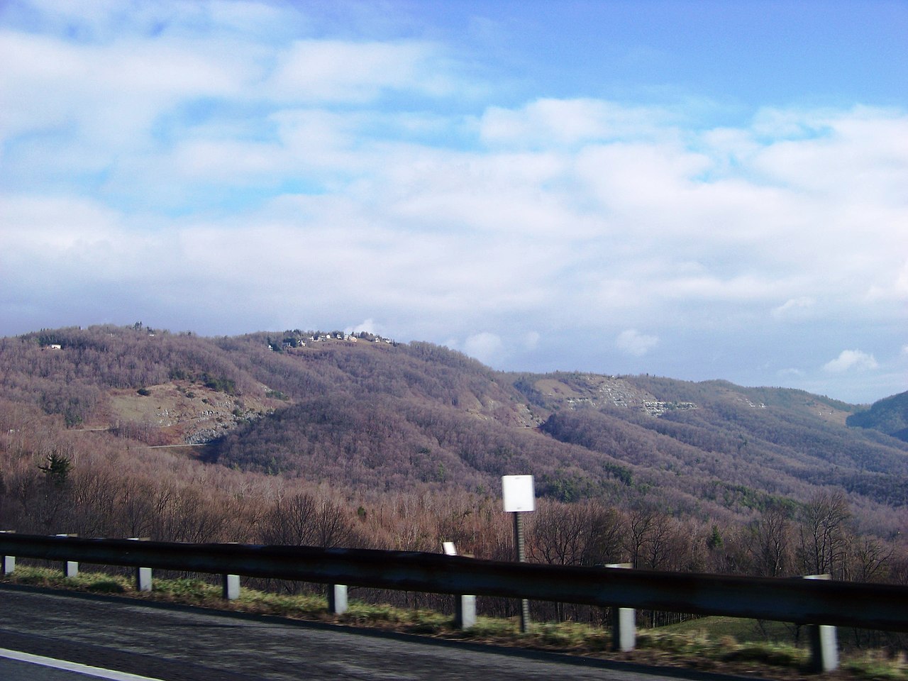
Fancy Gap is the gap I-77 uses to top the Blue Ridge in Carroll County, Virginia, just north of the North Carolina line. The interstate climbs the east face of the ridge here. Northbound, it is about a six-mile uphill pull gaining over 1,500 feet, with a third truck-climbing lane that runs the full upgrade for slow rigs (roadstothefuture.com). The grade is not over 4.5 percent, so it is a long haul rather than a wall. The road connects the North Carolina Piedmont and the Mount Airy area to Hillsville and Wytheville, and on up the I-77 corridor toward West Virginia (Wikipedia, Interstate 77 in Virginia).
Southbound is the side that bites. Coming off the top toward North Carolina, you face the same six-mile drop, and that is where brakes can fade. There are three runaway-truck escape ramps on that downgrade (roadstothefuture.com). Manage your speed and your brakes before you crest, not halfway down.
The headline hazard at Fancy Gap is not the grade. It is fog. This stretch of I-77 is one of Virginia's worst fog-crash corridors, with a string of multi-vehicle pileups going back to the 1990s. High wind is the second problem: gusts strong enough to flip tractor-trailers show up on this mountain, and VDOT has told high-profile and lighter commercial rigs to find another way during wind events. Check 511Virginia before you commit to this climb (511.vdot.virginia.gov).
- Climb is about six miles, gaining over 1,500 feet, at a grade not over 4.5 percent (roadstothefuture.com)
- Summit elevation is over 3,100 feet at the highway high point (roadstothefuture.com)
- A third northbound truck-climbing lane runs the full six-mile upgrade (roadstothefuture.com)
- Three runaway-truck escape ramps sit on the southbound downgrade toward North Carolina (roadstothefuture.com)
- At least six multi-vehicle pileups since 1997 on this fog-prone stretch (roanoke.com, citing Virginia State Police)
- Wind gusts up to about 70 mph have overturned four tractor-trailers in one episode (Henry County Enterprise; WFXR/WDBJ)
- VDOT runs a variable speed limit between mile markers 0 and 15 that drops speeds when visibility falls to 650 feet or less (wsls.com)