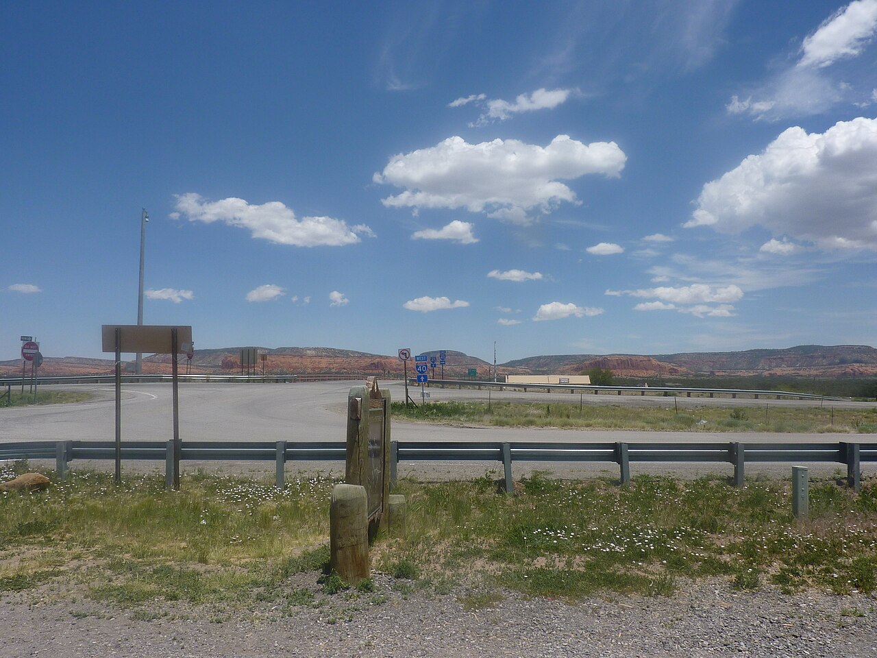
I-40 crosses the North American Continental Divide at Campbell Pass, a broad, low saddle in McKinley County in western New Mexico. This is not a peak. The road tops out at a wide east-west valley, which is the whole reason the railroad chose this line in the 1880s and why Route 66 and then I-40 followed it. The headline elevation is 7,275 ft (Wikipedia, Interstate 40 in New Mexico), and the roadside historic marker reads 7,245 ft. Mount Taylor, an 11,305-ft stratovolcano, sits to the east, but the highway itself never climbs anything like that.
The crossing falls between Gallup, about 25 miles to the west, and Grants and Thoreau to the east. Right at the divide sits the unincorporated community of Continental Divide (ZIP 87312), with a 2020 census population of 187 (Wikipedia, Continental Divide, New Mexico). For a trucker this is the high point of the I-40 run across western New Mexico. The NM segment enters from Texas near 4,500 ft and climbs past 7,000 ft near the divide (RMS Truck Insurance I-40 corridor guide), which the same guide sums up plainly: at that altitude your engine makes less power, and you are dealing with mountain weather, not desert weather.
One thing to keep straight. The Continental Divide climb is long and gradual, not a steep grade. The steep, sustained pull on I-40 in New Mexico is Tijeras Canyon east of Albuquerque, roughly mile 167 to 177, and that is where the brake-fade problems cluster. That is a separate place about 150 miles east of the divide. Do not run your pre-trip plan for one as if it were the other.
- Campbell Pass is a broad valley crossing of the Continental Divide in McKinley County, western New Mexico, not a mountain summit (Wikipedia, Interstate 40 in New Mexico)
- Headline elevation 7,275 ft; the roadside historic marker reads 7,245 ft (Wikipedia, Interstate 40 in New Mexico; theroute-66.com)
- Mount Taylor, an 11,305-ft stratovolcano, rises to the east, but I-40 itself stays in the valley (Wikipedia, Interstate 40 in New Mexico)
- The crossing sits between Gallup, about 25 miles west, and Grants and Thoreau to the east
- The community of Continental Divide (ZIP 87312) had a 2020 census population of 187 (Wikipedia, Continental Divide, New Mexico)
- New Mexico has no mandatory chain law; statute 66-3-847 permits chains and studded tires but does not require them (NM Stat. 66-3-847)
- The railroad through Campbell Pass was built for a very moderate grade, about 21 feet per mile, or 0.4%, and I-40 follows the same corridor (theroute-66.com)