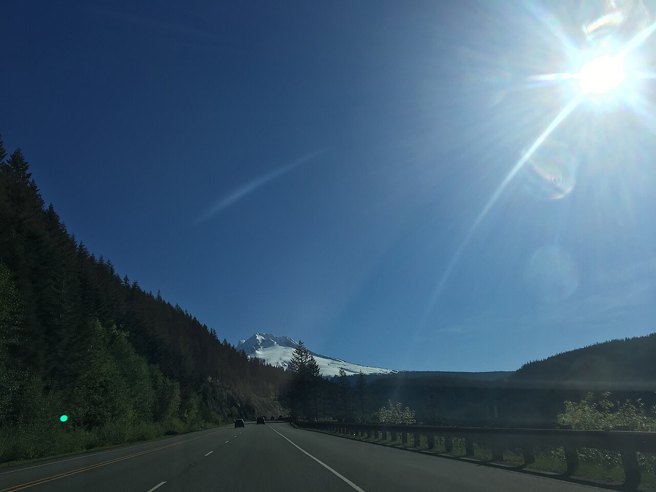
Government Camp sits at the base of Mount Hood's south side, right on U.S. Route 26 near where the highway meets Oregon Route 35. It is the highest community on the mountain. Wikipedia puts the elevation at about 3,891 ft, while local tourism sources round it up toward 4,000 ft, so call it roughly 3,900 ft. The highway here is the Mount Hood Highway, a 96.74-mile run marked as US-26 from Portland out to the mountain and as OR-35 the rest of the way to Hood River. It strings together Portland, Gresham, Sandy, Welches, Rhododendron, Government Camp, and Hood River.
Truckers run this road because it is the main freight and commuter route from the Portland metro over the south flank of the Cascades toward Central Oregon, continuing east toward Madras and Bend. It is also the access road to the Mount Hood ski areas, which is part of why it backs up. The relevant summit on the highway is Barlow Pass at 4,161 ft, with Government Camp sitting just below the Barlow Pass approach. Bennett Pass, over on OR-35 toward Hood River, climbs higher at 4,647 ft.
The climb west of Government Camp is the Laurel Hill grade, steep and curving and known for rockfall and crashes. ODOT documented a 20-mile backup from Welches to Government Camp with 2-plus-hour delays during one winter event. One caveat worth stating plainly: a published grade percentage for the US-26 mainline Laurel Hill climb is not something we could verify from ODOT. A figure of 6.7% over 5.4 miles floats around online, but that number describes the spur road up to Timberline Lodge, not the highway, so do not use it for US-26.
- Government Camp is the highest community on Mount Hood, on the south side directly on US-26 near the OR-35 junction (Wikipedia, Government Camp, Oregon)
- Elevation is about 3,891 ft per Wikipedia; tourism sources round to roughly 4,000 ft (Wikipedia, Government Camp, Oregon)
- The highway summit nearby is Barlow Pass at 4,161 ft; Bennett Pass on OR-35 reaches 4,647 ft (Wikipedia, Mount Hood Highway)
- The Mount Hood Highway runs 96.74 miles total, US-26 from Portland to the mountain then OR-35 to Hood River (Wikipedia, Mount Hood Highway)
- US-26 is the freight and commuter route from Portland over the Cascades toward Madras and Bend, and the access road to the ski areas
- Government Camp averages about 232.5 inches of snow a year, heaviest December through February (NOAA NCEI 1991-2020 normals via Current Results)
- Studded tires are legal in Oregon from Nov 1 through Mar 31 (ODOT TripCheck, Oregon Chain Law)