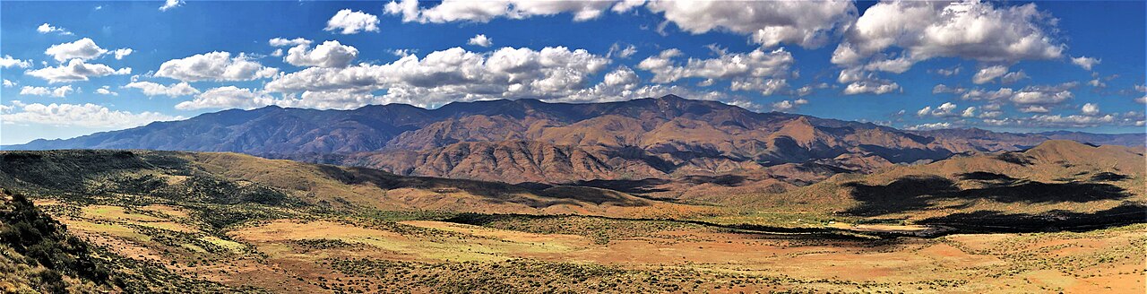
Sunset Point sits on Interstate 17 in Yavapai County, Arizona, at Exit 252, milepost 252. It is between Black Canyon City to the south and Cordes Junction to the north. The rest area is the obvious landmark here, but for truckers the real feature is the grade. The signed truck grade through this stretch is 6%, running about five miles between Sunset Point and Black Canyon City, with curves posted for 60 mph.
Direction decides how this pitch treats you. Northbound is the climb onto Black Mesa. Trucks are held to the right lane for about six miles north of Black Canyon City until past Sunset Point, and ADOT advises motorists to turn off air conditioners to avoid overheating on the ascent. Southbound is the descent, a 6% downgrade that begins with a brake-check sign near milepost 253 telling trucks and trailer-pullers to check brakes and equipment and use the rest area.
I-17 is the main north-south freight and travel route between Phoenix and Flagstaff, so this grade carries a lot of trucks. The Sunset Point pitch is a brake-fade and engine-overheat zone climbing, and a downgrade that wants a brake check going down. The rest area at MP 252 is the designated brake-check and cool-down stop on this stretch, and it serves both directions.
- Location: I-17 in Yavapai County, Exit 252 / milepost 252, between Black Canyon City and Cordes Junction (Wikipedia I-17 exit list; AARoads)
- Signed truck grade of 6% for roughly 5 miles between Sunset Point and Black Canyon City, with curves rated 60 mph (Mountain Directory)
- Northbound is the climb; trucks restricted to the right lane for about 6 miles north of Black Canyon City past Sunset Point (AARoads)
- Southbound is the descent; brake-check sign near MP 253 directs trucks to check brakes and use the rest area (Mountain Directory)
- The Sunset Point Rest Area at MP 252 is the designated brake-check and cool-down stop, serving both directions with separate truck and passenger parking (AARoads; ADOT)
- ADOT reopened the rest area in July 2023 after a roughly $7.5 million renovation; it serves more than a million visitors a year (ADOT, July 17, 2023)
- Studded tires are permitted on Arizona roads from October 1 to May 1 (ADOT Know Snow and Ice)