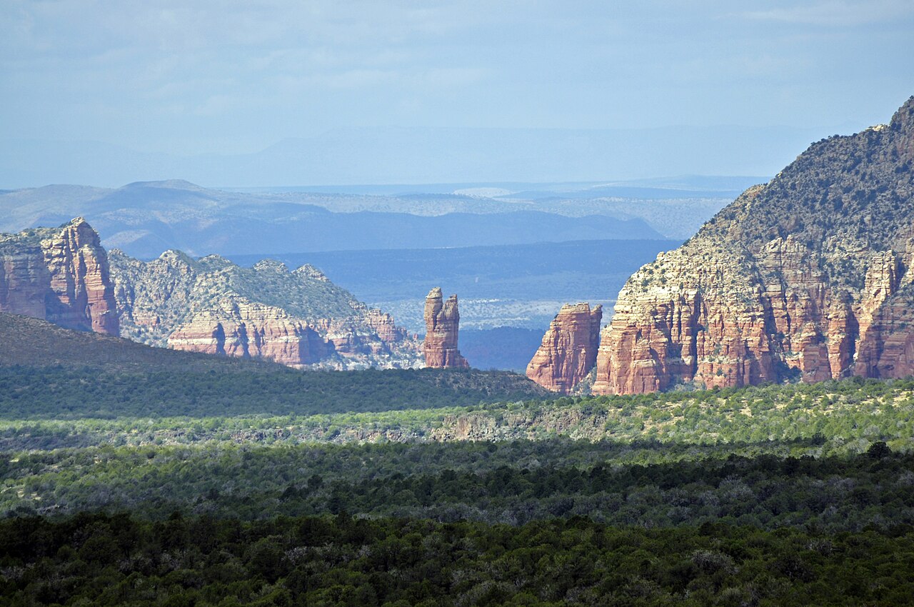
Munds Park is not a formally signed mountain pass the way Snoqualmie or Loveland are. It is an unincorporated community on I-17 in Coconino County, and the road reaches its local high point near here, crossing around 6,500 feet before the long drop south toward the Verde Valley. The feature drivers actually care about is the grade south of Munds Park, not a discrete named summit. When people say "Munds Park Summit," they mean this stretch of high country where the cool, snowy Colorado Plateau gives way to the descent into the desert.
For a southbound truck this is the start of a 6 percent grade that runs about 13 miles through S-curves toward Camp Verde. Brakes heat up fast on a pull that long, so AARoads notes drivers are advised to use a lower gear than normal for interstate travel. There is a brake-check station for trucks and vehicles pulling trailers at the scenic view area just south of mile marker 313, overlooking Pine Tank and Cedar Tank canyons. That is the place to stop and set your gear before you commit to the descent. Northbound is the opposite problem: a sustained climb out of the lower country up onto the plateau.
Munds Park is also the last services until Camp Verde when you are heading south, off Exit 322 at Munds Ranch Road and Pinewood Boulevard. It sits roughly 21 miles south of Flagstaff and about 126 miles north of Phoenix, surrounded by the Coconino National Forest. Across the whole I-17 corridor the elevation play is large: the road climbs more than a mile between Phoenix at 1,117 feet and Flagstaff near 7,000 feet, and drops roughly 5,500 feet coming back down. Winter storms close this segment episodically, never on a fixed schedule.
- Munds Park sits at 6,510 ft (1,980 m); I-17 crests around 6,500 ft near here before descending (Wikipedia; AARoads)
- Southbound, I-17 drops on a 6 percent grade for about 13 miles of S-curves toward Camp Verde and the Verde Valley (AARoads)
- Brake-check station for trucks and trailers sits at the scenic view area just south of mile marker 313 (AARoads)
- Last services southbound until Camp Verde are at Exit 322, Munds Ranch Rd / Pinewood Blvd; about 21 mi south of Flagstaff, 126 mi north of Phoenix (Wikipedia; AARoads)
- Munds Park averages about 92.8 in of snow a year; Flagstaff just north tops 100 in (Best Places; Current Results)
- I-17 climbs more than a mile between Phoenix at 1,117 ft and Flagstaff near 7,000 ft (AARoads; Wikipedia)
- Studded tires are legal statewide Oct 1 to May 1 (ADOT Know Snow and Ice)