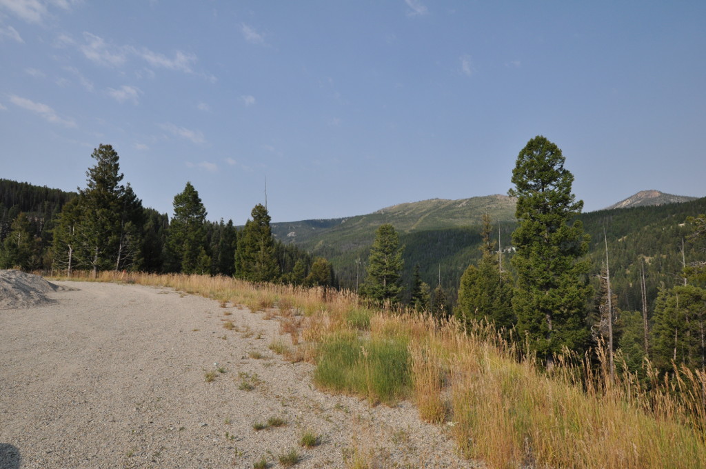
Lost Trail Pass sits at 7,014 ft on the Montana and Idaho state line, where U.S. Highway 93 crosses the Bitterroot Mountains (Wikipedia). It is a Bitterroot Divide crossing, not a Continental Divide crossing. The Divide itself runs about a half mile east of the summit, back inside Montana. At the top you hit a three-way junction: US-93 runs north and south, and MT-43 peels off east toward Chief Joseph Pass and Gibbons Pass. The Lost Trail Powder Mountain ski area sits right at that junction, which tells you most of what you need to know about the snow up here.
North of the summit, US-93 drops into the Bitterroot River Valley and runs toward Sula, Darby, Hamilton, Lolo, and on to Missoula. Sula is roughly 13 miles down the Montana side. South, the road descends into Idaho toward North Fork, where the Salmon River turns west, then on to Salmon. This is the main link between the Bitterroot Valley and the Salmon River country, and there is no easy parallel route to take instead.
For a driver, the concerns are straightforward. It is a high two-lane mountain crossing with sustained grades on both approaches and a hard seasonal climate. The Idaho side ices and closes faster than the Montana side. A single jackknifed semi can block both directions until it is cleared. Sources describe roughly 5 miles of climbing on each approach, but the exact grade figures circulating online are not DOT-verified, so plan for a real climb and check live conditions before you start it.
- Summit elevation is 7,014 ft on the Montana and Idaho state line in the Bitterroot Mountains (Wikipedia); dangerousroads.org lists a slightly higher 7,030 ft.
- Carried by US-93; Ravalli County, MT on the north side, Lemhi County, ID on the south.
- The summit is about a half mile west of the Continental Divide, so this is a Bitterroot Divide crossing, not a Continental Divide one (Wikipedia).
- At the top, MT-43 junctions east toward Chief Joseph Pass and Gibbons Pass; the ski area sits at this junction.
- Sula, MT is roughly 13 miles north of the summit; the south side descends to North Fork and Salmon, Idaho.
- Not on MDT's seasonally closed roads list, so it stays open and maintained year-round (MDT Seasonally Closed Roads).
- Sources describe roughly 5 miles of climbing on each approach, but no DOT-verified grade percentage exists.