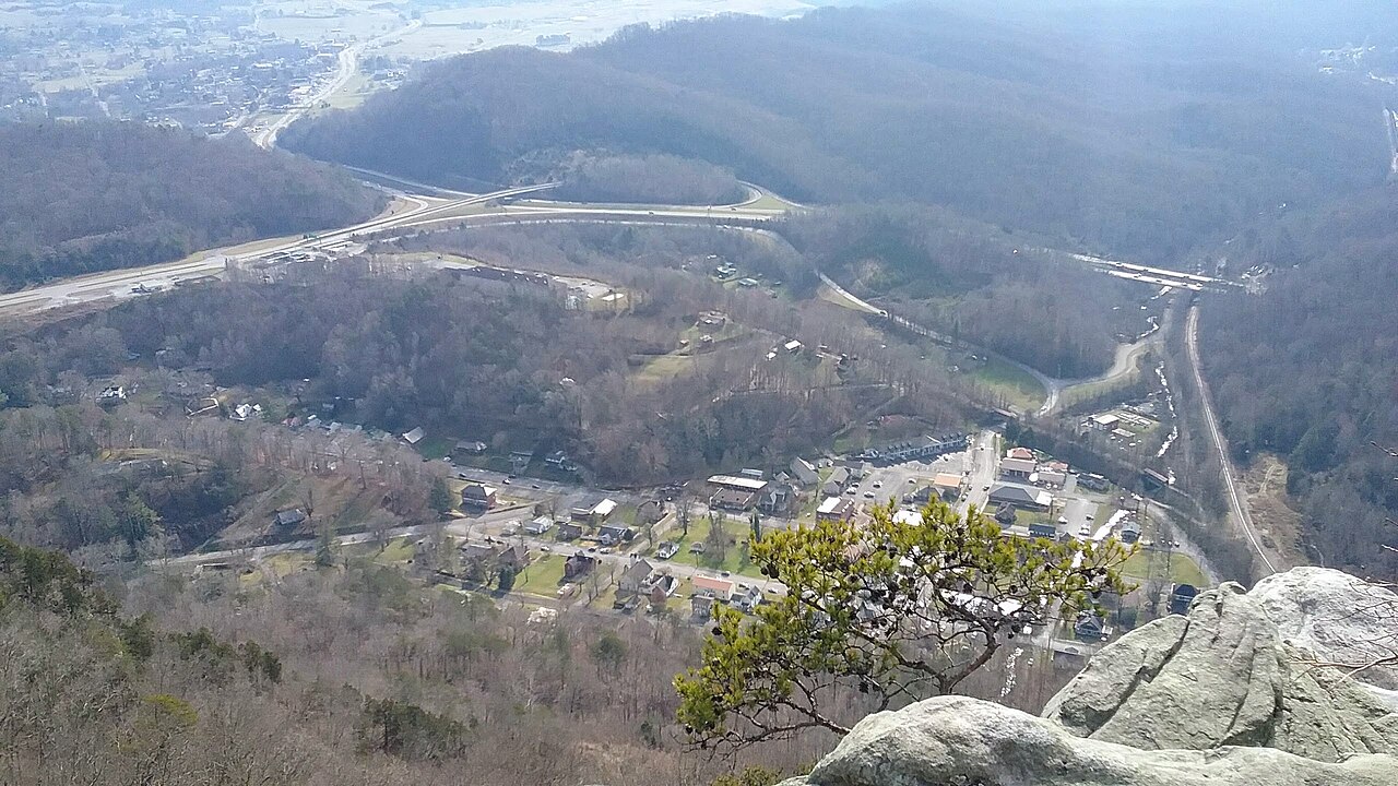
US-25E crosses Cumberland Gap through a tunnel, not over a summit. The route runs under Cumberland Mountain in a twin-tube, four-lane tunnel at the point where Kentucky, Tennessee, and Virginia nearly meet. The TN-KY state line sits about at the tunnel's midpoint. Each bore is 4,600 ft long, roughly 0.9 mile, with two lanes per tube (Wikipedia, cgtunnel.com FAQ). Inside, the speed limit is 45 mph and the posted clearance is 16 ft 6 in (Wikipedia, cgtunnel.com FAQ).
For a driver running freight between I-81 and I-75, this is the mountain connection. US-25E covers about 112.8 miles from Newport, TN to North Corbin, KY, tying I-81 at Morristown to I-75 near Corbin and threading through Tazewell, Harrogate, Middlesboro, and Pineville along the way (Wikipedia, U.S. Route 25E). It carries roughly 32,000 vehicles a day (Wikipedia). It has been on the FHWA National Network since 1982 and was named High-Priority Corridor 12 in 1991, so it is a designated federal truck route (Wikipedia, U.S. Route 25E).
The hazards here are tunnel hazards, not pass hazards. There is no chain control, no runaway-truck ramp, and no winter summit to climb. What you do hit is a clearance limit, hazmat escort rules, brief traffic holds at the portals, and the chance of ice where heavy mountain drainage meets cold approaches. The tunnel runs 24/7, staffed by certified operators, with cameras, ventilation fans, and gas monitoring throughout (cgtunnel.com).
- Twin-tube, four-lane tunnel carries US-25E under Cumberland Gap National Historical Park where KY, TN, and VA meet (Wikipedia)
- Each bore is 4,600 ft long, about 0.9 mile, 32 ft wide and 16.5 ft high, two lanes per tube (Wikipedia, cgtunnel.com FAQ)
- Posted clearance is 16 ft 6 in; over-height sensors on the approaches flag too-tall vehicles (cgtunnel.com FAQ)
- Speed limit inside the tunnel is 45 mph (Wikipedia)
- Traffic runs about 32,000 vehicles per day (Wikipedia)
- US-25E runs about 112.8 miles from Newport, TN to North Corbin, KY, linking I-81 to I-75 (Wikipedia, U.S. Route 25E)
- Owned by the National Park Service; operated 24/7 by KYTC and TDOT through the Cumberland Gap Tunnel Authority in Middlesboro, KY (cgtunnel.com, KYTC)