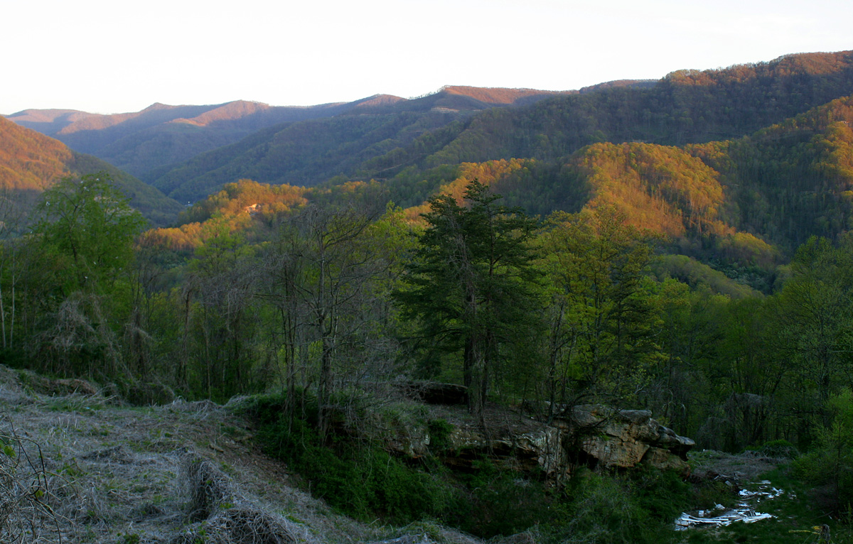
US-23 crosses Pine Mountain at Pound Gap, the Kentucky-Virginia state line. The gap sits at 2,392 ft (Wikipedia, "Pound Gap"). On the Kentucky side the road carries the Country Music Highway name, and it links Pound, Virginia and the Virginia coalfields with Jenkins, Whitesburg, and the eastern Kentucky coalfields toward Pikeville. Truckers run it loaded. US-23 is described as one of the nation's busiest coal-haul roads, and it is part of Kentucky's Coal Haul Highway System (truckinginfo.com, "Kentucky Finishes U.S. 23 Project"; KYTC Coal Haul Highway System).
A quick naming note, because the title can mislead. Black Mountain is Kentucky's highest peak at 4,145 ft, but US-23 does not go over it. Black Mountain is reached by Route 160 near Lynch, not by US-23 (Wikipedia, "Black Mountain (Kentucky)"). The road truckers actually drive crosses Pine Mountain through Pound Gap at 2,392 ft. So when you see references to a 4,145 ft summit, that is a different mountain on a different road.
The crossing itself is a steep four-lane grade through a blasted rock cut at the gap. The current road is the product of a long modernization. Kentucky finished four-laning US-23 from the Virginia line to Portsmouth, Ohio in late August 1999, closing the final 12-mile Dorton to Jenkins section after a project that ran roughly 30 years and was made costly by the mountainous terrain (truckinginfo.com, "Kentucky Finishes U.S. 23 Project"). There is no published percent-grade figure for the Pound Gap climb from KYTC or VDOT, so treat it as a steep mountain grade and drive it that way rather than to a number.
- US-23 crosses Pine Mountain at Pound Gap, elevation 2,392 ft, on the KY/VA state line (Wikipedia, Pound Gap)
- Black Mountain (4,145 ft) is Kentucky's highest peak but sits on Route 160, not US-23 (Wikipedia, Black Mountain Kentucky)
- US-23 is called one of the nation's busiest coal-haul roads and is part of KY's Coal Haul Highway System (truckinginfo.com; KYTC)
- Kentucky finished four-laning the 156-mile US-23 to Portsmouth, Ohio in late August 1999, the final Dorton to Jenkins segment (truckinginfo.com)
- No mandatory or seasonal chain law applies on US-23 in Kentucky or Virginia; chains are optional adverse-weather equipment (TheTrucker chain-law guide)
- In the October 2012 Sandy storm, NWS measured 12 to 18 in above 2,000 ft and 18 in at 2,400 ft on Pine Mountain (NWS Jackson, KY)
- No published percent-grade figure or runaway-truck ramp is documented for the Pound Gap climb