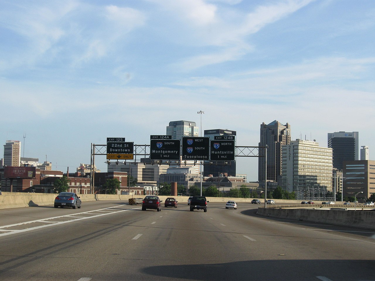
Interstate 59 runs 445 miles from Slidell, Louisiana to Wildwood, Georgia (just south of Chattanooga), connecting the Gulf Coast to the southern Appalachians and the I-24 / I-75 corridor. The route is concurrent with I-20 across most of central Alabama, doubling as the principal Birmingham approach from the south.
For freight, I-59 carries Gulf-to-Midwest traffic that bypasses Atlanta. Container drayage from the Port of Mobile and the Port of New Orleans uses I-59 to reach the Tennessee Valley, the Appalachian basin, and onward to Detroit and the Great Lakes via I-75.
Geographically I-59 crosses the Gulf coastal plain, climbs the southern Appalachian foothills, and threads the Lookout Mountain area near Chattanooga. Weather hazards include hurricane evacuations from coastal Louisiana and Mississippi, Dixie Alley spring tornadoes, and the occasional ice event in the Birmingham area.
- Crosses four states: LA, MS, AL, GA
- Concurrent with I-20 across central Alabama (Birmingham approach)
- Connects Gulf Coast ports to the Tennessee Valley and Great Lakes via I-24 / I-75
- Designated hurricane evacuation route from coastal Louisiana
- Toll-free across its entire 445-mile length
- Northern terminus at I-24 in Wildwood, GA
- Southern terminus at I-10 in Slidell, LA