Interstate 30 runs 367 miles from Fort Worth, Texas to North Little Rock, Arkansas, It is the principal east-west connector between the Dallas-Fort Worth Metroplex and central Arkansas.
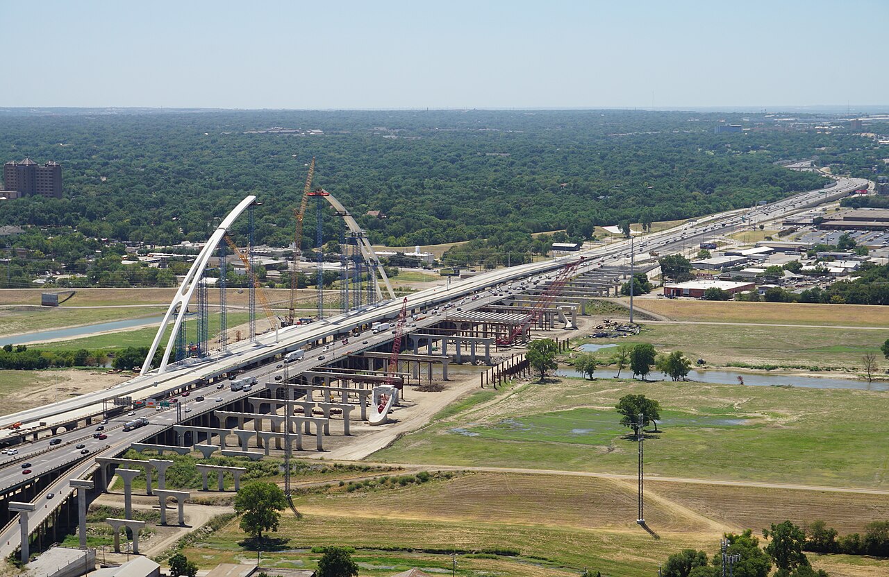
For freight, I-30 carries finished-vehicle moves between the GM plant in Arlington, TX and eastern markets, and for Texas-to-Mid-South freight. The Dallas-Fort Worth segment is heavily congested with chronic incidents.
Geographically I-30 is mostly rolling, crossing the Texas Blackland Prairie and the Ouachita foothills of southern Arkansas. Weather hazards are dominated by Tornado Alley severe storms in spring, ice events across the central segment in winter, and the chronic DFW congestion that ripples through North Texas.
- Crosses two states: TX, AR
- About 224 miles in Texas and 144 miles in Arkansas (Interstate-Guide)
- Connects Dallas-Fort Worth Metroplex to central Arkansas
- Concurrent with I-35E briefly in downtown Dallas
- Crosses the Red River at Texarkana
- Eastern terminus at I-40 in North Little Rock
- Part of High Priority Corridor 55, Dallas to Memphis via Little Rock (Interstate-Guide)
- Tolled segment through Dallas (TEXpress lanes optional)
- Heavy auto-manufacturing freight to/from GM Arlington