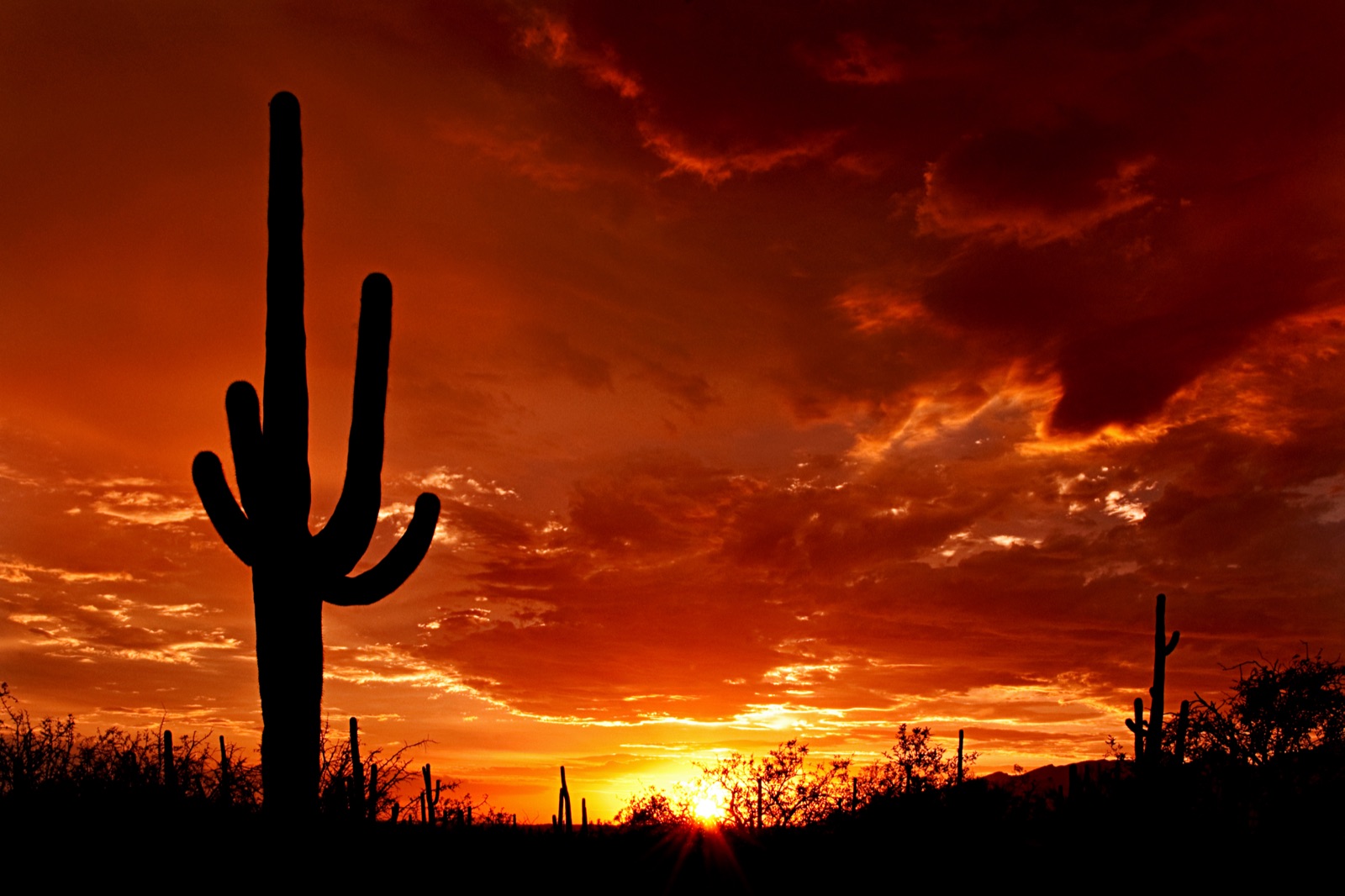
Saguaro is two parks under one name (the Rincon Mountain District (East) and the Tucson Mountain District (West)) separated by 30 miles of Tucson urban area. Both protect dense stands of saguaro cactus, the iconic columnar cactus that grows only in a small slice of the Sonoran Desert and lives 150-200 years. The East District is larger (67,000 acres), wilder, and includes Mica Mountain at 8,664 ft; the West District is smaller (24,000 acres) but has the densest saguaro stands. From I-10 the standard access for the East District is Exit 275 (Houghton Rd), 10 mi to the visitor center. The West District is reached from I-10 Exit 242 via Avra Valley Rd to Sandario Rd, about 22 mi. A single $25 entry covers both districts for 7 days.
- Two non-contiguous districts: Rincon Mountain (East, 67,000 acres) and Tucson Mountain (West, 24,000 acres)
- Saguaro cactus lives 150-200 years; first arms typically appear at age 70-100
- Designated a national monument in 1933, redesignated as a national park in 1994
- ~1 million visitors per year combined across both districts
- East District includes the Saguaro Wilderness, Mica Mountain summit at 8,664 ft