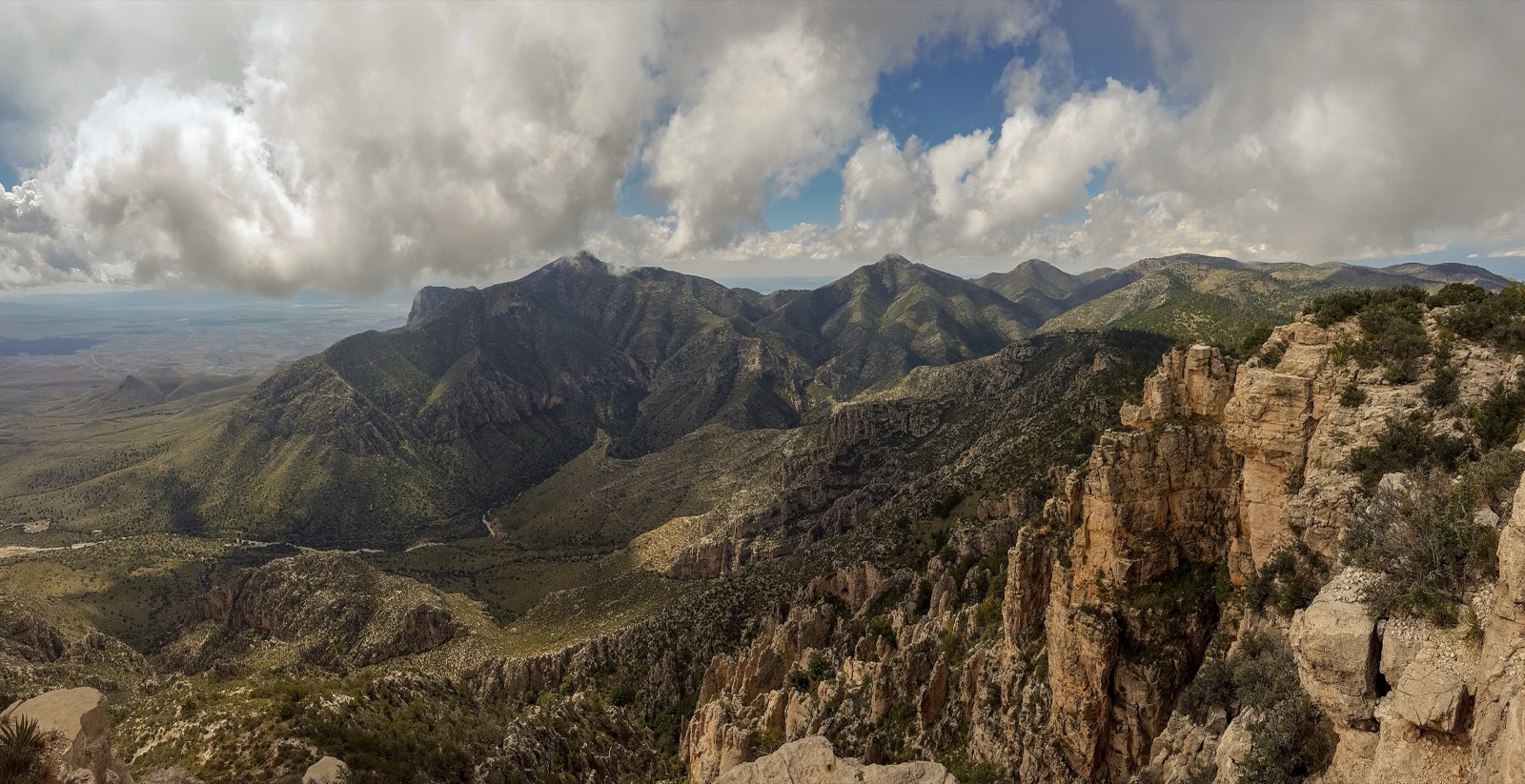
Guadalupe Mountains preserves the most exposed and best-studied Permian-age fossil reef on earth, a 250-million-year-old marine reef now uplifted to form the highest peaks in Texas. Guadalupe Peak (8,751 ft) is the state highpoint, and El Capitan (the limestone prow visible from US-62/180) is the southernmost cliff of the range. The park is small by Western standards (86,000 acres), backcountry-oriented, and almost entirely undeveloped, there is no through-road, no lodging, and only one paved campground. From I-10 the standard route is Exit 140 in Van Horn, TX, then 55 mi north on TX-54 to US-62/180, with the Pine Springs Visitor Center a few miles west. Carlsbad Caverns sits 35 miles north on the same US-62/180 corridor, most travelers do both in a single trip.
- Most extensive exposed Permian fossil reef on earth (~250 million years old)
- Guadalupe Peak (8,751 ft) is the highest point in Texas
- Designated a national park in 1972 from a 1959 land donation by Wallace Pratt
- No through-road, no lodging, single paved campground (Pine Springs)
- Known for fierce winds, 70+ mph gusts on US-62/180 are routine in spring