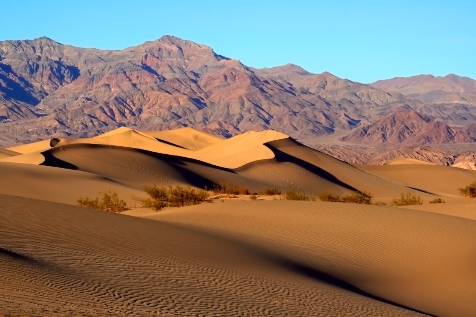
Death Valley is the largest national park in the contiguous US, 3.4 million acres of basin-and-range desert anchored by Badwater Basin, the lowest point in North America at 282 ft below sea level. It also holds the world's hottest reliably recorded air temperature (134°F at Furnace Creek, July 10, 1913) and one of the most extreme vertical reliefs in the country, with Telescope Peak rising 11,049 ft directly above Badwater. The park spans the California-Nevada line; from I-15 the standard access is Exit 246 in Baker, CA ("the gateway to Death Valley") then 110 mi north on CA-127 and CA-190 through Shoshone to Furnace Creek. From Las Vegas, US-95 north to NV-373 / Death Valley Junction is a similar distance. Designated a national monument in 1933 and a national park in 1994.
- Largest national park in the contiguous US (3.4 million acres)
- Lowest point in North America: Badwater Basin, 282 ft below sea level
- World record high temperature: 134°F (Furnace Creek, July 10, 1913)
- Designated an International Dark Sky Park (Gold Tier, 2013)
- Telescope Peak (11,049 ft) rises 11,330 ft above Badwater, among the steepest reliefs in the US