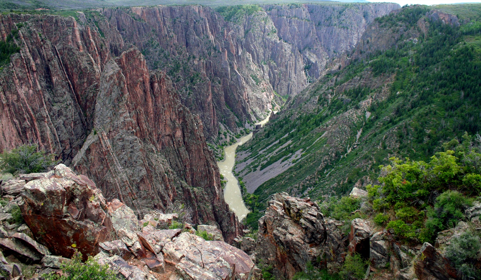
Black Canyon of the Gunnison is the steepest, narrowest, and deepest sheer-walled canyon in North America, a 2,000-ft slot cut by the Gunnison River through Precambrian gneiss and schist that catches less than 33 minutes of direct sunlight per day at its narrowest point (hence the name). The canyon is so narrow at the bottom that the river drops more than the entire Mississippi: 2,150 ft over 48 miles, an average gradient of 95 ft per mile. The South Rim is the developed side, paved scenic drive, visitor center, and 11 named overlooks. The North Rim is reached only via a 5-mile gravel road from Crawford, CO, and closes in winter. From I-70 the standard access is Exit 37 in Grand Junction, then 90 mi via US-50 to Montrose and CO-347 north to the South Rim entrance.
- Steepest mountain descent of any river in North America (95 ft per mile inside the park)
- Narrowest point of the canyon receives less than 33 minutes of direct sunlight per day
- Painted Wall (2,250 ft) is the tallest cliff in Colorado
- ~330,000 visitors per year, among the least-crowded major Western parks
- South Rim is the developed side; North Rim road is gravel and closes November to April