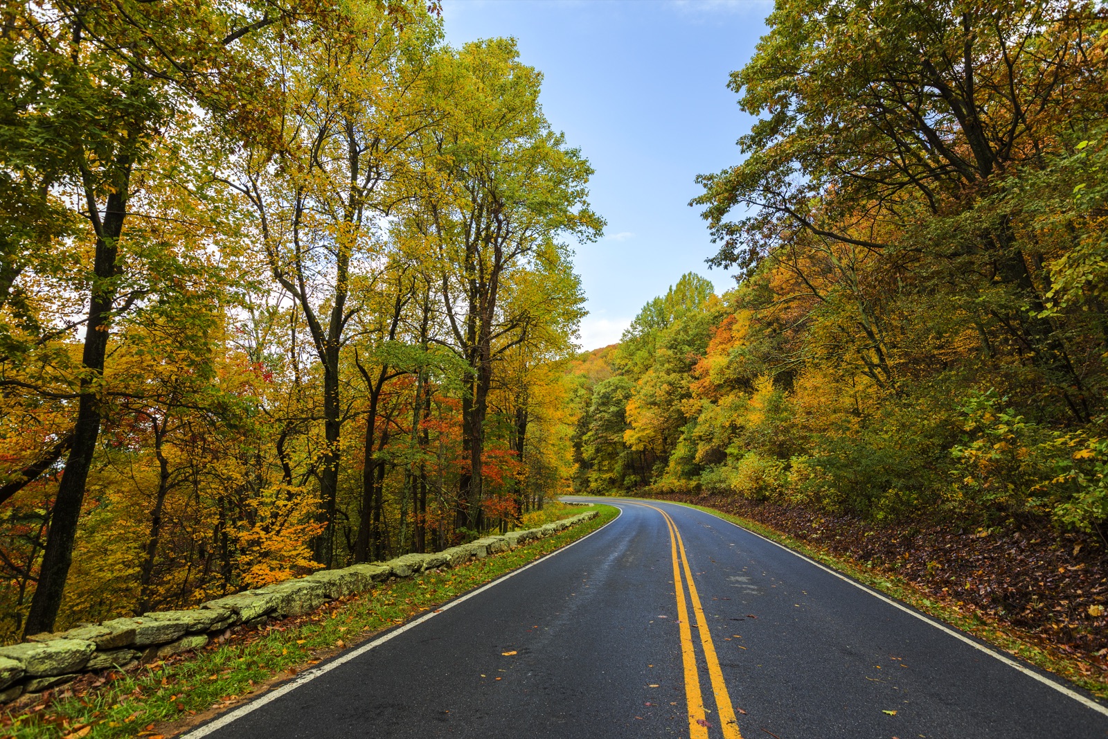
Shenandoah was carved out of the Blue Ridge crest in 1935 from family farms reclaimed by the Civilian Conservation Corps, and the legacy of that effort is the 105-mile Skyline Drive, a single ridge-top road that defines the park. The park stretches roughly 100 miles north-to-south and is rarely more than a couple of miles wide, making it the most accessible major national park in the eastern US: Front Royal sits at the north end one mile from I-66, and the southern terminus joins the Blue Ridge Parkway at Rockfish Gap. Twelve drive-in entrances, more than 75 overlooks, and 500 miles of trails (101 of them on the Appalachian Trail) make Shenandoah a half-day trip from D.C., Baltimore, or Richmond.
- Skyline Drive is 105 miles long with 75 named overlooks and a 35 mph speed limit
- Established 1935 from land bought (and in some cases condemned) by the state of Virginia and donated to the federal government
- 101 miles of the Appalachian Trail run through the park
- ~1.6 million visitors per year
- Highest point is Hawksbill Mountain (4,051 ft)