Interstate 81 runs 855 miles from Dandridge, Tennessee to Wellesley Island, New York at the Canadian border, hugging the Great Appalachian Valley between the Blue Ridge and the Allegheny Front. Unofficially known as "the trucker's interstate," Trucks make up an unusually large share of I-81 traffic. VDOT reports it has the highest per-capita truck volume in Virginia and carries more than one-third of the state's trucks. On some Virginia segments trucks are 21 to 28 percent of all traffic, and on busy days the truck share can exceed half (VDOT; Improve 81 program).
The route is the principal long-haul alternative to I-95 for north-south traffic between the Southeast and the Northeast / Canadian border. Trucks bound from Atlanta, the Carolinas, or Tennessee toward New York, New England, or eastern Canada typically use I-81 to avoid Washington DC, Baltimore, and the Northeast Corridor. Despite its lower national profile, I-81 carries more freight than I-95 along their parallel routes through Virginia (Independent Institute). The result is heavy truck volumes through narrow valley segments with limited shoulders and few alternates.
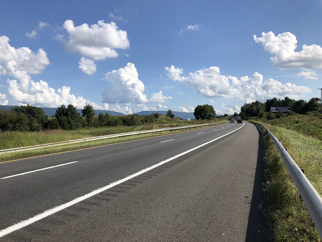
Geographically I-81 follows the Great Valley of the Appalachians, a long, narrow corridor between mountain ridges with relatively gentle grades but frequent winter weather, persistent crosswinds, and extensive truck-vs-truck congestion. The Shenandoah Valley segment in Virginia is particularly affected, and the Pennsylvania Mountains around Scranton are notorious for snow squalls.
- Crosses six states: TN, VA, WV, MD, PA, NY
- Carries one of the highest truck shares of any major interstate (VDOT)
- Virginia's freight backbone: about 21 million truck trips a year moving over $300 billion in goods, and 43 percent of statewide interstate truck VMT (VDOT Improve 81)
- Follows the Great Appalachian Valley for most of its length
- Crosses I-40, I-77, I-64, I-66, I-70, I-78, I-80, I-83, I-84, I-90
- Northern terminus at the Thousand Islands Bridge into Ontario
- Concurrent with no other interstate for any meaningful distance
- Toll-free for its entire 855-mile length (one of the longest toll-free interstates in the East)