Interstate 64 runs 943 miles from Wentzville, Missouri (just west of St. Louis) to Chesapeake, Virginia, crossing the central US through the Ohio River valley and the southern Appalachians. It serves St. Louis, Louisville, Lexington, Charleston WV, and the Hampton Roads metro at the Atlantic Ocean.
For freight, I-64 is the principal east-west corridor through the central Appalachians and the only interstate that connects St. Louis directly to the Mid-Atlantic ports without going north of the Ohio River. Truck volumes are heavy through Louisville (where I-64 meets I-65 and I-71), Lexington, and Charleston, WV.
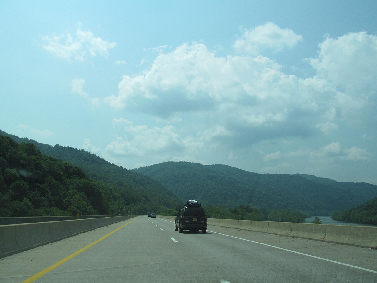
Geographically I-64 is mostly rolling, with the only major climbs through the West Virginia Appalachians where the route crosses the Allegheny Front at Sandstone Mountain (3,300 ft) and threads the Sewell Mountain area near Beckley. The Hampton Roads Bridge-Tunnel at the eastern terminus is a major chokepoint and one of the few US interstate crossings that includes both bridge and tunnel sections. The four-lane 'gap' segment of I-64 between Richmond and Hampton Roads is being widened by VDOT, which calls congestion there notorious on one of Virginia's most important thoroughfares (VDOT).
- Crosses six states: MO, IL, IN, KY, WV, VA
- Includes the Hampton Roads Bridge-Tunnel at the Atlantic terminus
- Hampton Roads Bridge-Tunnel carries over 100,000 vehicles a day in tourist season (Wikipedia)
- Concurrent with I-77 across most of West Virginia (West Virginia Turnpike)
- Crosses the Ohio River at Louisville (concurrent with I-65)
- Highest point: Sandstone Mountain, WV at approximately 3,300 ft
- Tolled across the West Virginia Turnpike segment
- Connects St. Louis to the Hampton Roads ports without going through the Mid-Atlantic