Interstate 44 runs 636.69 miles from Wichita Falls, Texas to its eastern end at I-70 in St. Louis, Missouri (Wikipedia), tracing a diagonal northeast path across Oklahoma and the Ozarks. Most of its length follows the original Turner and Will Rogers turnpikes, both still tolled, and the route is as the primary corridor between the Texas Panhandle and the St. Louis intermodal hubs.
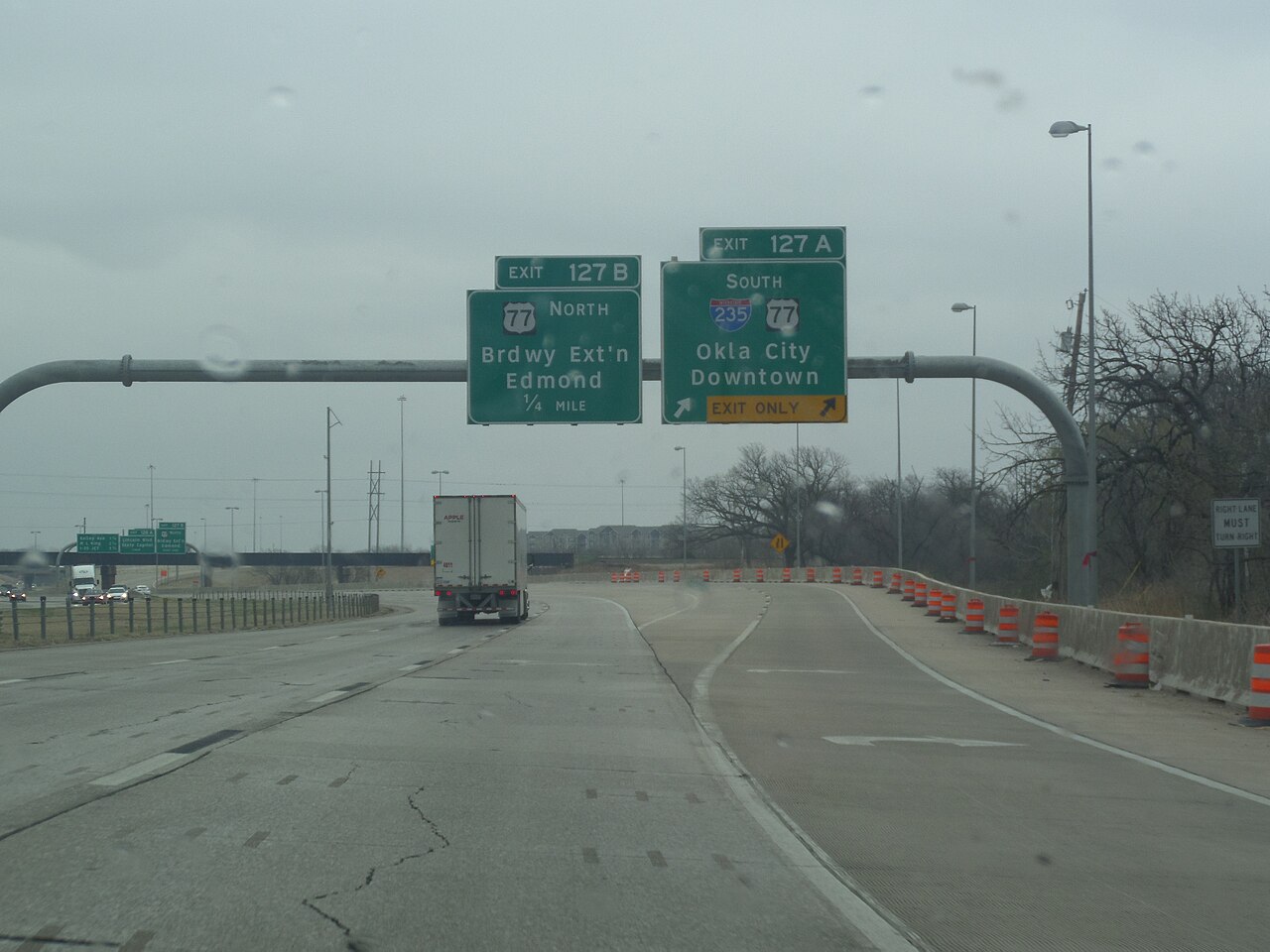
The corridor is the diagonal complement to I-40 and I-70: drivers headed from Dallas-Fort Worth or the Texas oil patch toward Chicago, the Great Lakes, or the Northeast typically take I-44 to St. Louis, then transfer to I-55 north or I-70 east. Truck volumes are heavy, and in northeast Oklahoma City I-44 runs concurrent with I-35 for about four miles before splitting off toward the Turner Turnpike.
Geographically I-44 climbs gradually across the Wichita Mountains in southern Oklahoma, threads the Arbuckle Mountains, and rolls across the Ozark Plateau in southwestern Missouri. Weather hazards are dominated by Tornado Alley severe storms across Oklahoma, ice events in the Ozarks, and the occasional flash-flood closure where the route crosses the Meramec River basin.
- Concurrent with I-35 through Oklahoma City
- Tolled across most of Oklahoma (Turner Turnpike, Will Rogers Turnpike, H. E. Bailey Turnpike spur)
- Crosses three states: TX, OK, MO
- Connects the Texas oil patch to the St. Louis intermodal hubs
- Only diagonal interstate in the central US that runs continuously TX→MO
- Crosses the Wichita and Arbuckle Mountains in southern Oklahoma
- Eastern terminus at I-70 / I-55 in St. Louis is one of the most complex stack interchanges in the Midwest