Interstate 4 runs 132 miles across central Florida from Tampa to Daytona Beach, tying together the major theme-park, tourism, and population centers of the Sunshine State. I-4 has one of the highest fatality rates per mile of any US interstate: in Teletrac Navman's analysis of NHTSA FARS crash data (2016-2019), the 132-mile stretch from Tampa to Daytona Beach was the only roadway in the report averaging more than one death per mile. It is also the only interstate in Florida that runs east-west.
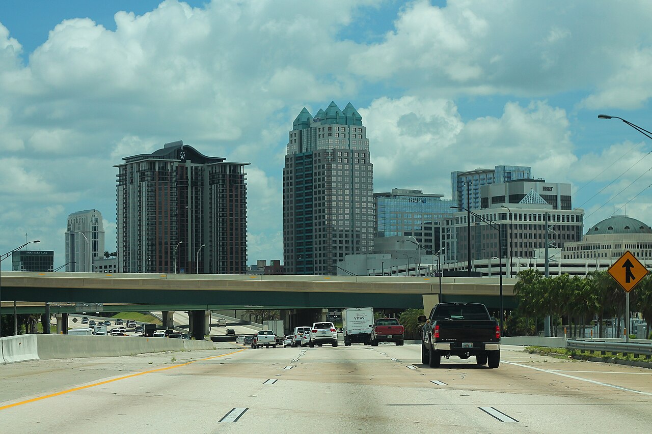
I-4 is the main freight and tourism route across central Florida. The Orlando segment serves Walt Disney World, Universal Studios, the Orange County Convention Center, and the Orlando International Airport. This stretch draws heavy tourist traffic to the Orlando theme parks, which drives sharp seasonal peaks around holidays and school breaks. Truck volumes are heavy in the Tampa-to-Lakeland industrial belt, and the corridor is the principal connector between the Port of Tampa and the Atlantic ports via I-95 in Daytona. No parallel interstate provides a continuous through-route across the center of the peninsula, so I-4 carries this traffic alone (AARoads).
Geographically I-4 is entirely flat coastal-plain terrain. Weather hazards are dominated by sudden Florida thunderstorms, seasonal hurricane evacuations, and chronic congestion that persists day and night through the Orlando metro. The corridor runs through the most lightning-prone part of the country: Vaisala's National Lightning Detection Network found Four Corners, Florida, on the I-4 corridor southwest of Orlando, had the highest lightning density of any US location in 2022, and Vaisala ranks Florida the number one state for lightning density.
- Only east-west interstate entirely within Florida
- Runs 132 miles from Tampa to Daytona Beach
- Among the highest fatality rates per mile of any US interstate (Teletrac Navman, NHTSA FARS 2016-2019)
- Sharp seasonal traffic peaks from Orlando theme-park tourism
- Connects Port of Tampa to I-95 Atlantic corridor via Daytona
- Toll-free for the entire 132-mile length
- I-4 Ultimate reconstruction project added 21-mile Express Lane segment in Orlando
- I-4 Express lanes through downtown Orlando drew about 56,000 drivers a day in Dec 2023-Jan 2024 (FDOT)