Interstate 26 runs 349 miles from Kingsport, Tennessee to Charleston, South Carolina, threads the Blue Ridge Mountains and is the principal corridor between the Tennessee Valley, the Carolinas Piedmont, and the Atlantic at the Port of Charleston. The route connects three major plants: BMW Spartanburg, Volvo Charleston, and Boeing North Charleston.
For freight, I-26 is the dominant container drayage corridor for Port of Charleston traffic, and the I-26 and I-85 interchange near Spartanburg (I-26 exits 18A/18B) is a major freight junction, feeding the BMW Spartanburg plant and the Inland Port at Greer that connects to the Port of Charleston. Truck volumes are heavy throughout, particularly the Asheville-to-Spartanburg segment that crosses the Blue Ridge. BMW Plant Spartanburg was the largest US automotive exporter by value in 2025, shipping nearly 200,000 vehicles worth about $9 billion, most of it out through the Port of Charleston (BMW).
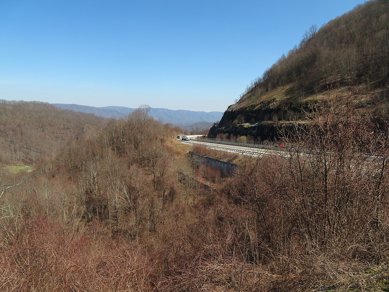
Geographically I-26 climbs the Blue Ridge from Asheville at Sam's Gap (3,760 ft per Wikipedia, the route's highest point) on a sustained grade. It is one of the steepest interstate climbs east of the Mississippi. The route then descends into the South Carolina Piedmont and runs flat across the coastal plain to Charleston. Weather hazards include sudden Appalachian fog at Sam's Gap, severe spring storms, and hurricane evacuation contraflow from coastal South Carolina.
- Crosses three states: TN, NC, SC
- Sam's Gap (3,760 ft, the route's highest point per Wikipedia) is one of the steepest interstate climbs in the East
- Principal container drayage corridor for Port of Charleston
- Connects to BMW Spartanburg, Volvo Charleston, and Boeing North Charleston
- Designated hurricane evacuation route from coastal South Carolina
- Concurrent with I-95 briefly near Walterboro, SC area junction
- Toll-free across its entire 349-mile length