Interstate 24 runs 316 miles from Marion, Illinois to Chattanooga, Tennessee, threading the Cumberland Plateau and and is the primary diagonal connector between the central US and the southeastern auto-manufacturing belt. The route ties Nashville to St. Louis (via I-57) and to Atlanta (via I-75 in Chattanooga).
For freight, I-24 is a critical secondary corridor for finished-vehicle and auto-parts traffic, particularly between the Nissan plant in Smyrna, TN and northern markets. The Nashville segment is heavily congested, and the climb across Monteagle Mountain is one of the most challenging interstate descents in the eastern US for commercial vehicles.
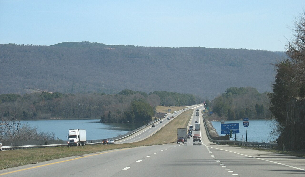
Geographically I-24 crosses the Ozark foothills in southern Illinois and Kentucky, threads the Land Between the Lakes region, climbs the Cumberland Plateau at Monteagle (1,930 ft) on a sustained 6% grade, and descends into the Tennessee River valley at Chattanooga. The main weather hazards are ice on the Cumberland Plateau and severe spring storms across the whole corridor.
- Crosses four states: IL, KY, TN, GA (briefly)
- Monteagle Mountain (1,930 ft) is one of the most challenging interstate grades in the East
- Truck brake-adjustment station at the Monteagle summit opened January 1992 (Wikipedia, citing TDOT)
- Concurrent with I-57 briefly in southern Illinois
- Connects Nashville to St. Louis (via I-57) and Atlanta (via I-75)
- Heavy auto-parts freight to/from Nissan Smyrna and GM Spring Hill
- Toll-free across its entire 316-mile length
- Eastern terminus at I-75 in Chattanooga